

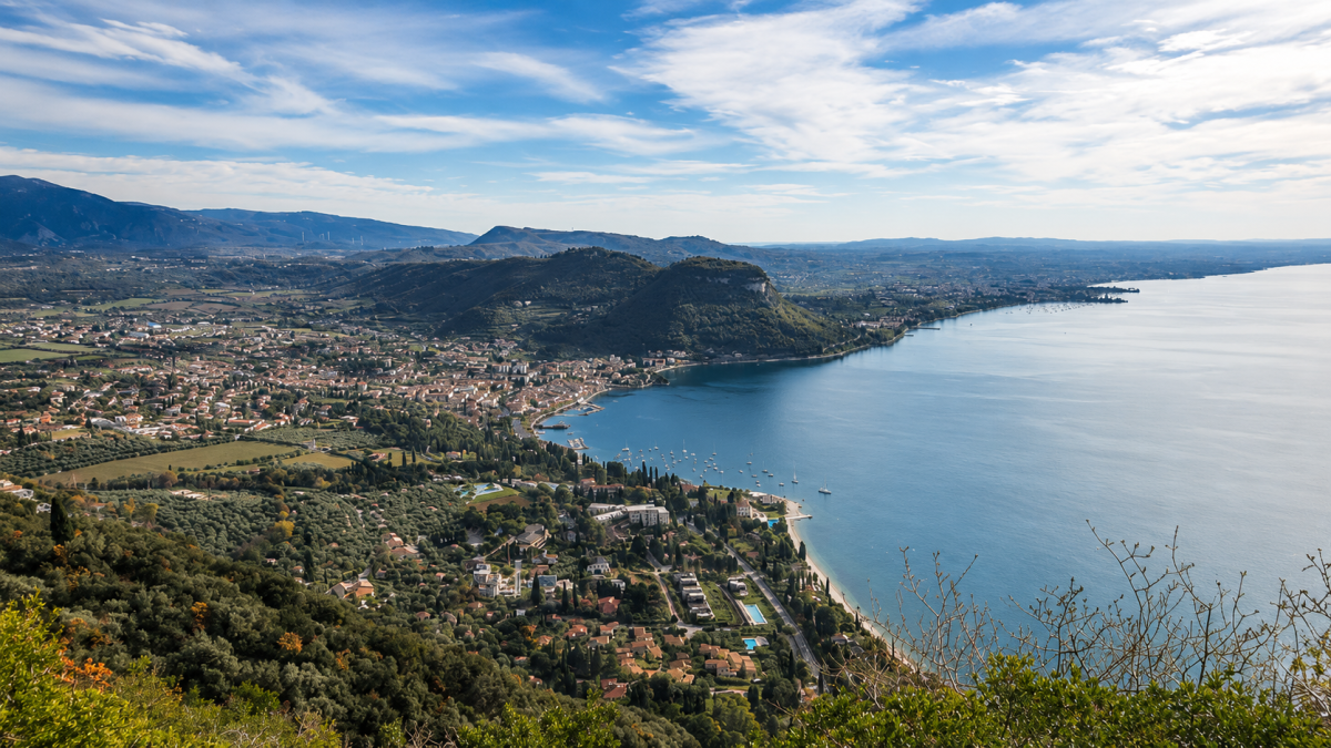
The excursion to Monte Luppia is a journey through time: an easy 6 km route that leads to the discovery of prehistoric petroglyphs engraved in the rock thousands of years ago, with views of Lake Garda and the Veronese shore. An experience that combines nature, history and archaeology in a walk suitable for everyone.
The Route
It starts from the village of Garda, climbing gently through olive groves and holm oak forests that smell of the Mediterranean. Monte Luppia (486 m) is a wooded hill overlooking the lake, offering panoramic views of the bay of Garda, the Punta di San Vigilio and, on a clear day, the mountains of Trentino.
The path is well signposted and free of technical difficulties. The height difference of 200 metres is gradually distributed over the entire route, making it accessible also to families with children who are used to walking.
The petroglyphs
The treasure of Monte Luppia are the petroglyphs: rock engravings dating back to the Bronze Age (around 3,000 years ago) depicting warriors, animals, sun symbols and scenes of everyday life. These prehistoric testimonies, engraved in the rock outcrops, are among the most important in the Veneto region and document human presence on the banks of Lake Garda since prehistoric times.
An information panel on the site explains the main motifs and the historical context of the engravings, making the visit understandable even without a guide.
Practical advice
Perfect half-day excursion. Light hiking shoes or trainers with good soles. The route is shady in the forest, pleasant even in summer. Bring water. After the hike, the lakeside promenade offers restaurants and ice cream parlours for a break. Walkable all year round.
Characteristics
Directions
From Torri del Benaco, climb towards Monte Luppia following the marked trail. The route passes through hornbeam and holm oak forests, reaching the area of prehistoric petroglyphs (rock engravings dating back to the Bronze Age).
Continue to the summit of Monte Luppia (476 m) with panoramic views over the lake. The descent is a loop trail passing through San Cipriano and returning to Torri.
How to get there
By car: reach Torri del Benaco from SS249. About 40 minutes from Verona. By public transport: bus to Torri del Benaco.
Where to park
Parking in Torri del Benaco, in the port area or along the Gardesana road.
Starting point coordinates
Recommended gear
Light trekking shoes. Water, sunscreen, hat. Binoculars recommended for viewing the rock engravings.
Safety
Generally safe trail. Some uphill sections are steep. The petroglyph areas are protected: do not touch or step on the engravings. Route suitable for families. Dogs allowed on leash.
Loading forecast...

Need help planning?
Our AI assistant knows every trail around Lake Garda.
 Ask about this route...


