

The route of the belvederes – Croce di Salò
ovestJust above the historic center of Salò, this route comes to life among the centuries-old olive trees and the characteristic stone steps that climb up to Mount San Bartolomeo. The generous elevation gain-more than 300 meters in just 1.7 km-makes it more challenging than the short distance suggests, yet the T2 classification makes it accessible even to less-trained hikers, provided they are in good physical shape.
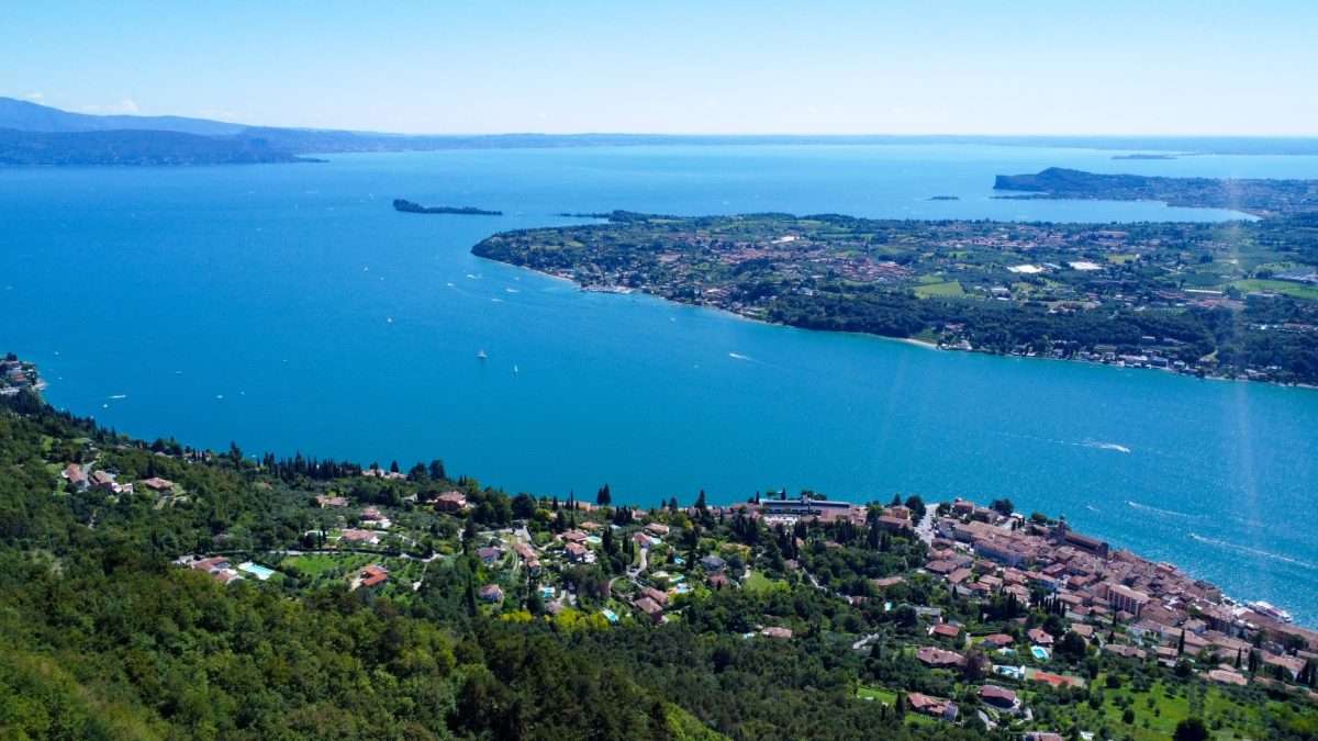
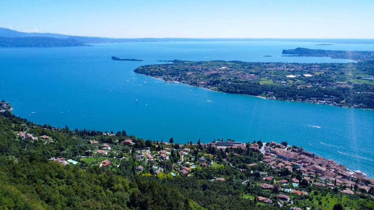
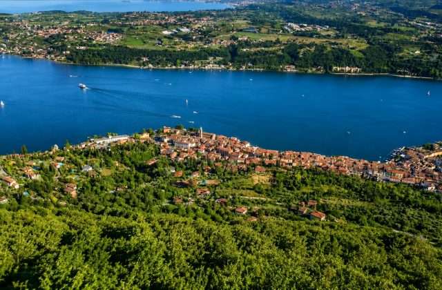
The start is from Via San Bartolomeo, where the route climbs rapidly through wooded terrain alternating with open clearings. Steeper sections are interspersed with short plateaus that offer opportunities for resting and progressively wider views: first the city of Salò, then its gulf, and finally the entire lake basin opening up to the south.
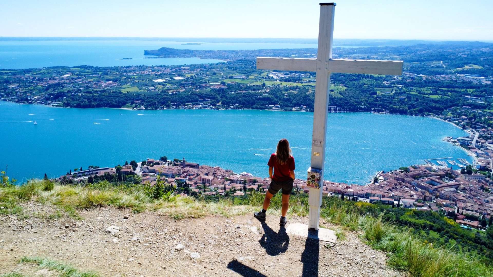
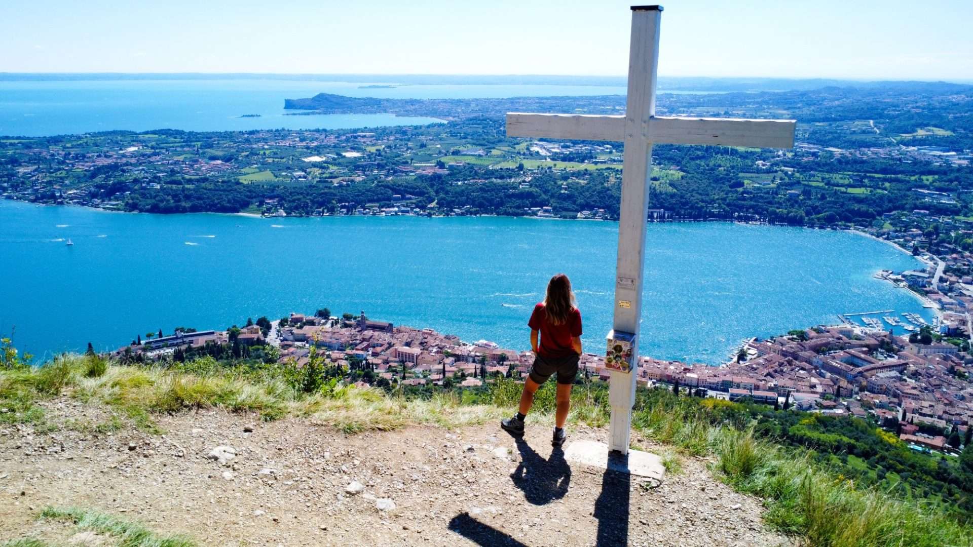
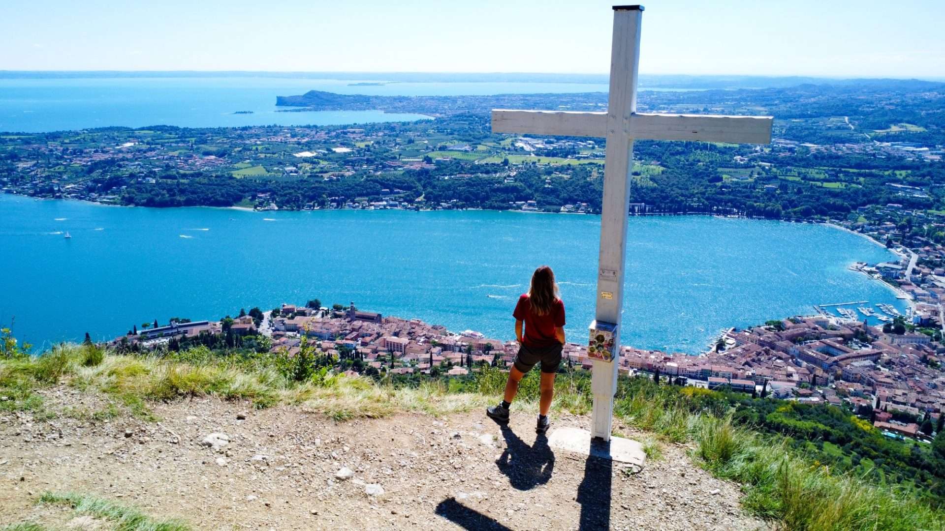
Past the La Corna junction, you reach Belvedere Isabella, one of the most striking viewpoints on the itinerary. From here the view sweeps as far as the Rocca di Manerba, the Sirmione peninsula and Garda Island, emerging from the waters like an architectural jewel.
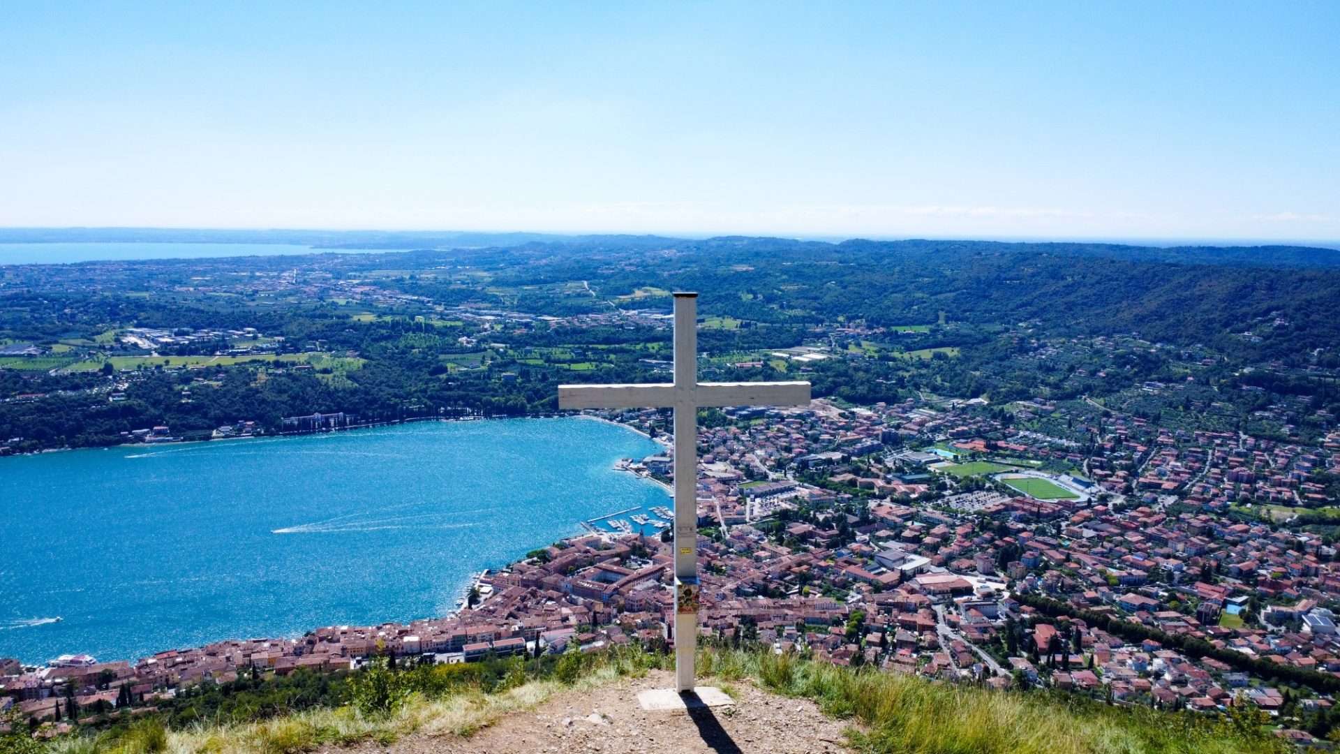
The final destination is the Croce di Salò, located at about 490 meters above sea level. At the top, the silence is interrupted only by the wind and the vastness of the Garda landscape stretching in every direction. A place of rare quiet, just minutes from the bustling Riviera town.
Practical info: departure from Via San Bartolomeo, Salò. Hiking shoes recommended for sections with steps. No water points along the route: bring adequate supplies.
Points of interest
- Cross of Salo
- Belvedere Isabella
- La Corna (crossroads)
- View of the Rock of Manerba
- View of Sirmione
- Isola del Garda
Source: official itinerary sheet on visitparcoaltogarda.it (Ente Parco Alto Garda Bresciano). Technical data, GPX tracks and updated info on official website.
Per le direzioni dettagliate, la traccia GPX scaricabile e le indicazioni passo-passo consulta la scheda ufficiale del percorso:
Starting point coordinates
Gear information is not yet available for this route.
Loading forecast...

Need help planning?
Our AI assistant knows every trail around Lake Garda.
 Ask about this route...


