

Brasa Valley Tour
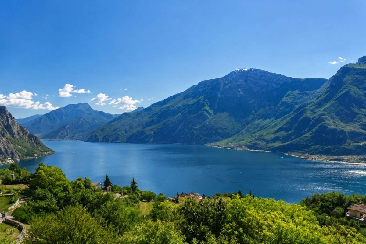
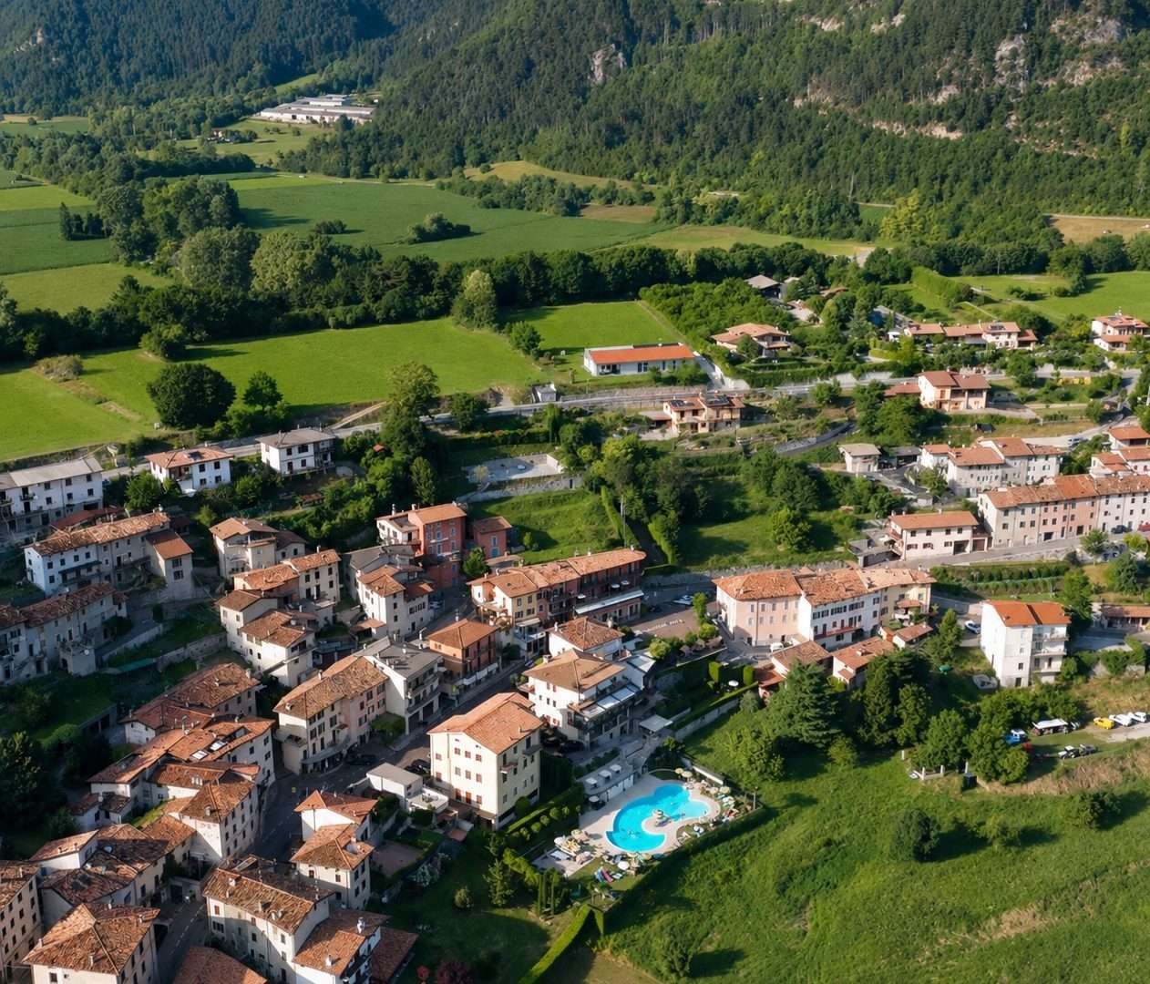
ovestThe Brasa Valley Tour is a mountain bike loop perfect for those who want to discover the plateau of Tremosine sul Garda without extreme commitments, immersing themselves in one of the most authentic and least visited corners of the Alto Garda Bresciano Park.
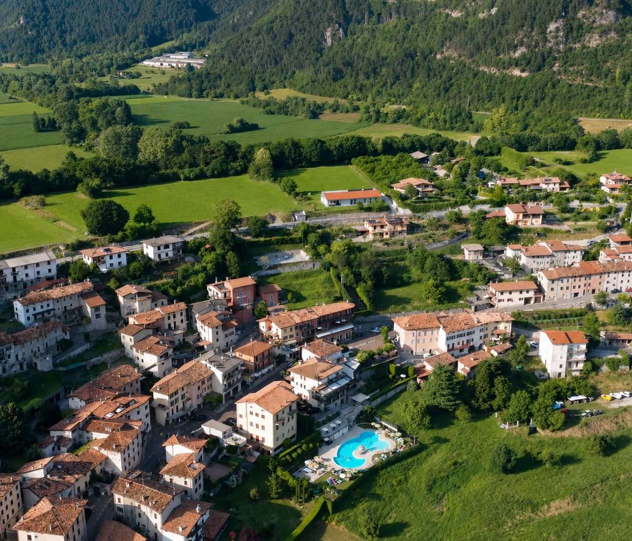
The route starts from the center of Vesio, the main town of the plateau, where there are convenient public parking lots. From here you pedal on back roads and dirt tracks to the hamlets of Villa and Voiandes, small rural villages that preserve intact the rhythms and architecture of an agricultural past that is still recognizable.
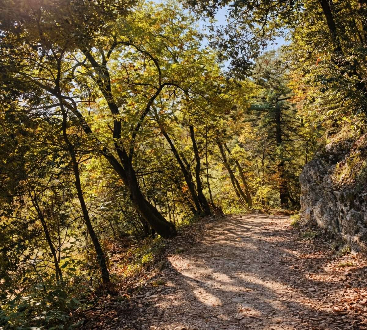
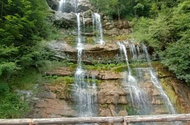
The heart of the route is the Brasa Valley, a valley furrow traversed by a watercourse that over the centuries has fed mills and forges now silent but still visible along the route. The contrast between the coolness of the valley floor and the open vistas of the plateau is one of the main reasons for the charm of this tour.
Among the most distinctive points is the Diaclasi di Voltino, a natural cleft in the limestone rock that suddenly opens on the trail like a geological window on the territory. Passing through Ponti and Ustecchio, the route closes the loop by returning to Vesio.
With only 413 meters of elevation gain and S1 difficulty, it is also suitable for casual bikers and families with e-bikes. A good choice for a half-day in the saddle dedicated to cultural and naturalistic discovery of the Tremosine plateau.
Points of interest
- Vesio
- Villa
- Voiandes
- Brasa Valley
- Historical mills and forges
- Voltino Diaclase
- Bridges
- Ustecchio
Source: official itinerary sheet on visitparcoaltogarda.it (Ente Parco Alto Garda Bresciano). Technical data, GPX tracks and updated info on official website.
Per le direzioni dettagliate, la traccia GPX scaricabile e le indicazioni passo-passo consulta la scheda ufficiale del percorso:
Starting point coordinates
Gear information is not yet available for this route.
Loading forecast...

Need help planning?
Our AI assistant knows every trail around Lake Garda.
 Ask about this route...


