

Panoramas and ràvere
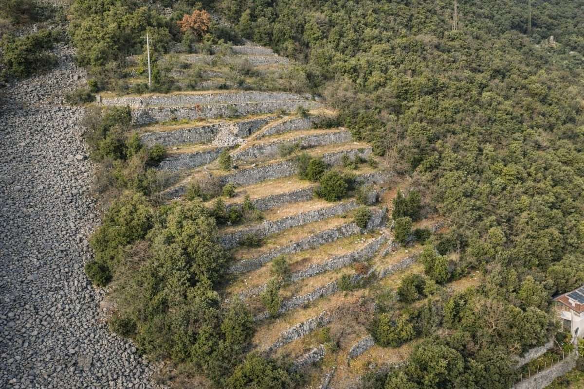
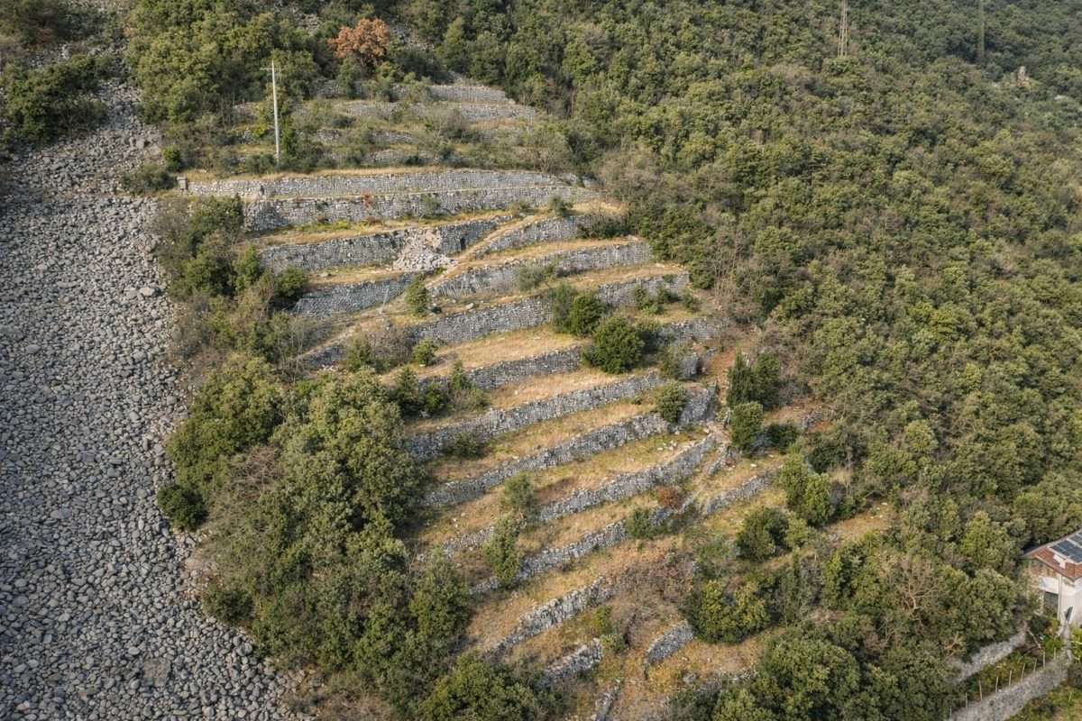
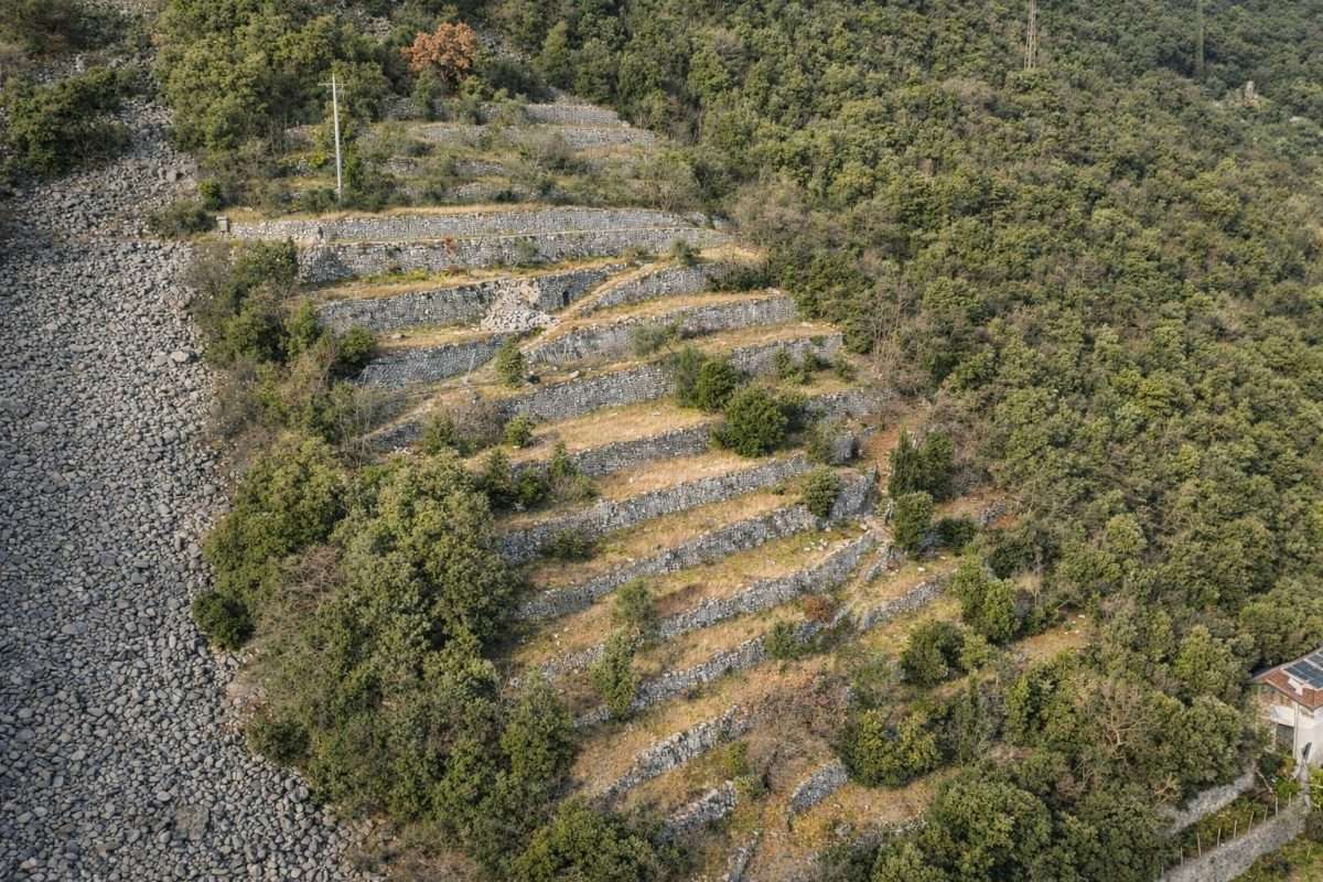
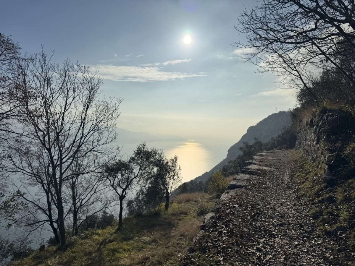
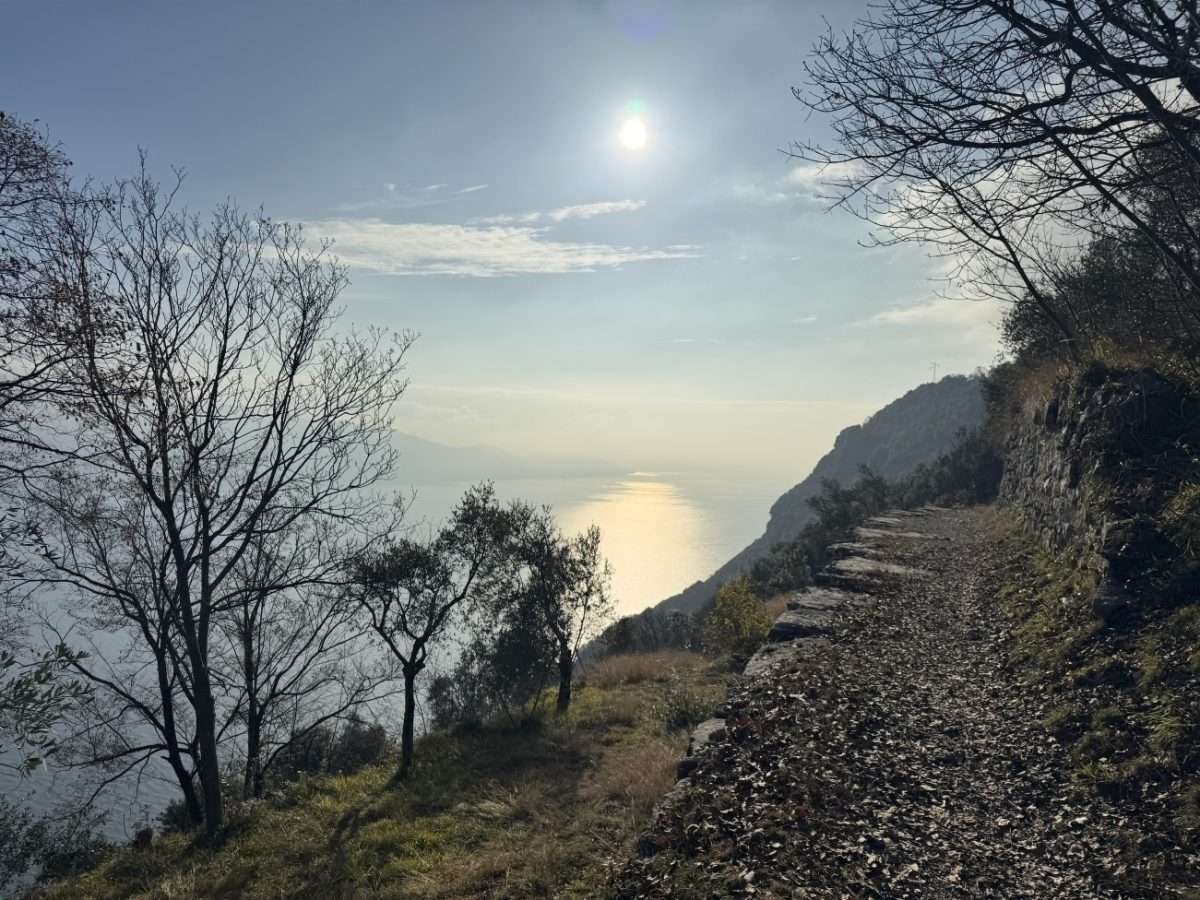
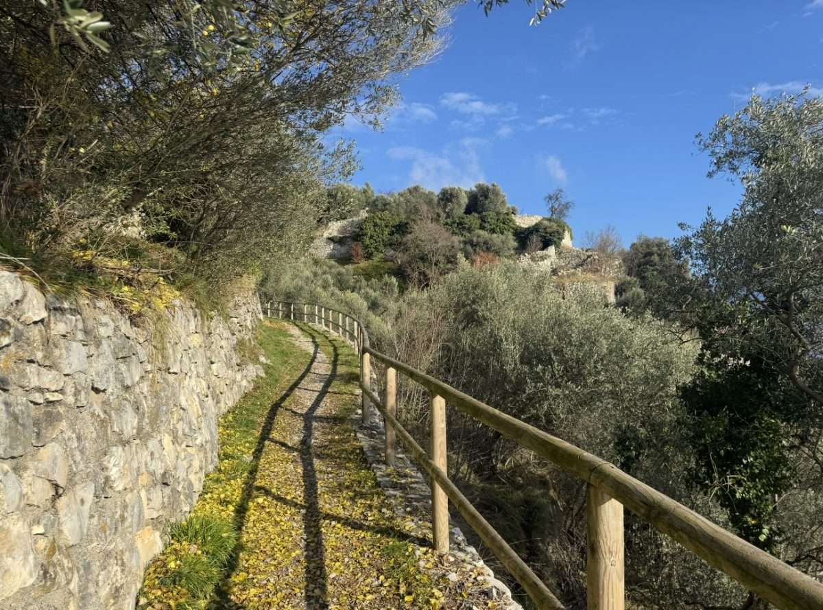
ovestThere is a local term that you need to learn before tackling this route: ràvere. This word is used to indicate the characteristic expanses of limestone debris that accumulate at the foot of Mount Rocchetta, where the crushed rock creates almost lunar landscapes, bordered by dry stone walls that man has patiently built over the centuries to carve out cultivable terraces.
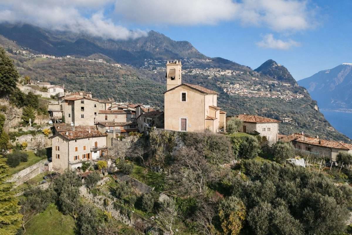
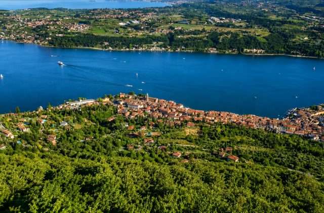
The route connects the two churches of Muslone and Piovere, two small hamlets suspended between the lake and the mountains, at altitudes ranging from 377 to 468 meters above sea level. The start is from the Church of San Matteo in Muslone, a hamlet of rare quiet from which there are already open views of Lake Garda and Mount Baldo that backs it up on the Veronese shore.
The path, partly on asphalt and partly on dirt, traverses the ràvere with a pleasant sense of estrangement: the sparse vegetation, the uneven walls, the terraces where olive trees grow in difficult conditions give the impression of walking through an ancient landscape that has remained unchanged for centuries. The afternoon light particularly enhances the gray texture of the stones and the silvery green of the olive trees.
The arrival at the Church of St. Mark the Evangelist in Piovere closes the itinerary with another place of recollection and simple beauty. The view from these elevations-with the lake shimmering in the distance and the mountains embracing it on all sides-is amply worth the short effort of the climb.
Practical info: linear route (not loop), need to turn back or arrange second vehicle. Hiking shoes recommended for sections on dirt road. Already high starting altitude: reachable by car from Muslone.
Points of interest
- St. Matthew’s Church (Muslone)
- Rave geological formations
- Terraces with olive trees
- Historical dry stone walls
- View of Mount Baldo
- Church of St. Mark the Evangelist (Rain)
Source: official itinerary sheet on visitparcoaltogarda.it (Ente Parco Alto Garda Bresciano). Technical data, GPX tracks and updated info on official website.
Per le direzioni dettagliate, la traccia GPX scaricabile e le indicazioni passo-passo consulta la scheda ufficiale del percorso:
Starting point coordinates
Gear information is not yet available for this route.
Loading forecast...

Need help planning?
Our AI assistant knows every trail around Lake Garda.
 Ask about this route...


