

On the Trail of Tracks
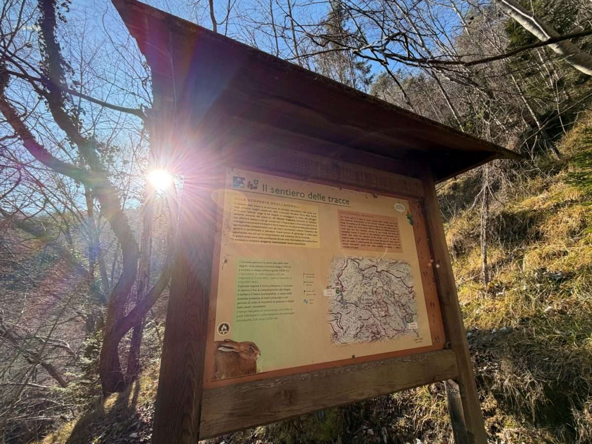
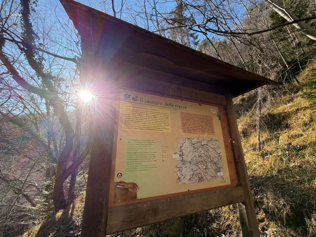
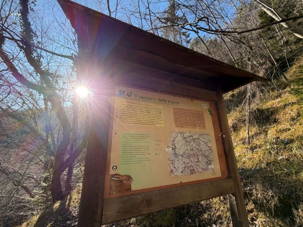
ovestThe Trail of Tracks is a discovery trail designed to learn how to read the forest as an open book: along the 4.5 kilometers that cross the Gardesana Occidentale Regional Forest, fourteen information panels teach how to recognize footprints, feeding signs and clues to the presence of deer, roe deer, birds of prey and other rare species in the Alto Garda Bresciano Park.
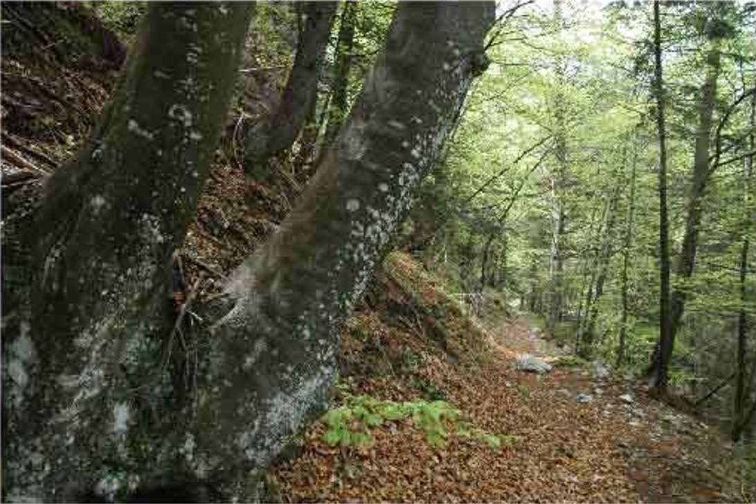
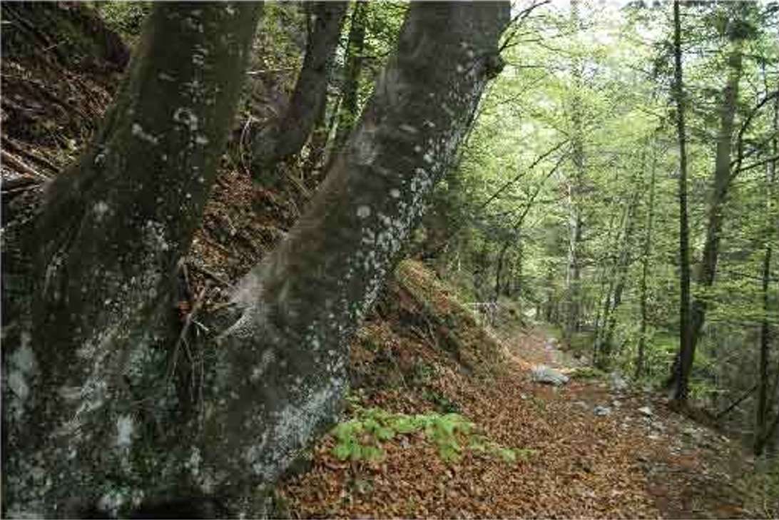
The starting point is Malga Lorina, which can be reached from Polzone (Tremosine) in about three hours on foot or by car along the forest road. The trail descends gently to Malga Negrini, crossing environments of extraordinary variety: dense and silent beech forests, clear streams with small waterfalls, open pastures and rocky cliffs that are home to nesting birds of prey.
The total descent of about seven hundred meters makes the route physically accessible to most hikers, even the less trained, as long as you have appropriate shoes. The uphill elevation gain is minimal, which means that the route is almost entirely downhill.
The proximity to Tremalzo Pass and San Michele Valley makes the area a crossroads for more challenging hiking trails for those who want to extend their day. The best time is late spring-summer, when the animals are most active and the vegetation is in its prime.
Itinerary suitable for families with children aged five and under, school groups and anyone who wants to get closer to nature observation in an exceptional mountain setting.
Points of interest
- Malga Lorina
- Malga Negrini
- Lorina Valley
- Western Gardesana Regional Forest
- St. Michael’s Valley
- Tremalzo Pass
Source: official itinerary sheet on visitparcoaltogarda.it (Ente Parco Alto Garda Bresciano). Technical data, GPX tracks and updated info on official website.
Per le direzioni dettagliate, la traccia GPX scaricabile e le indicazioni passo-passo consulta la scheda ufficiale del percorso:
Starting point coordinates
Gear information is not yet available for this route.
Loading forecast...

Need help planning?
Our AI assistant knows every trail around Lake Garda.
 Ask about this route...


