

Tremosina agricultural landscapes
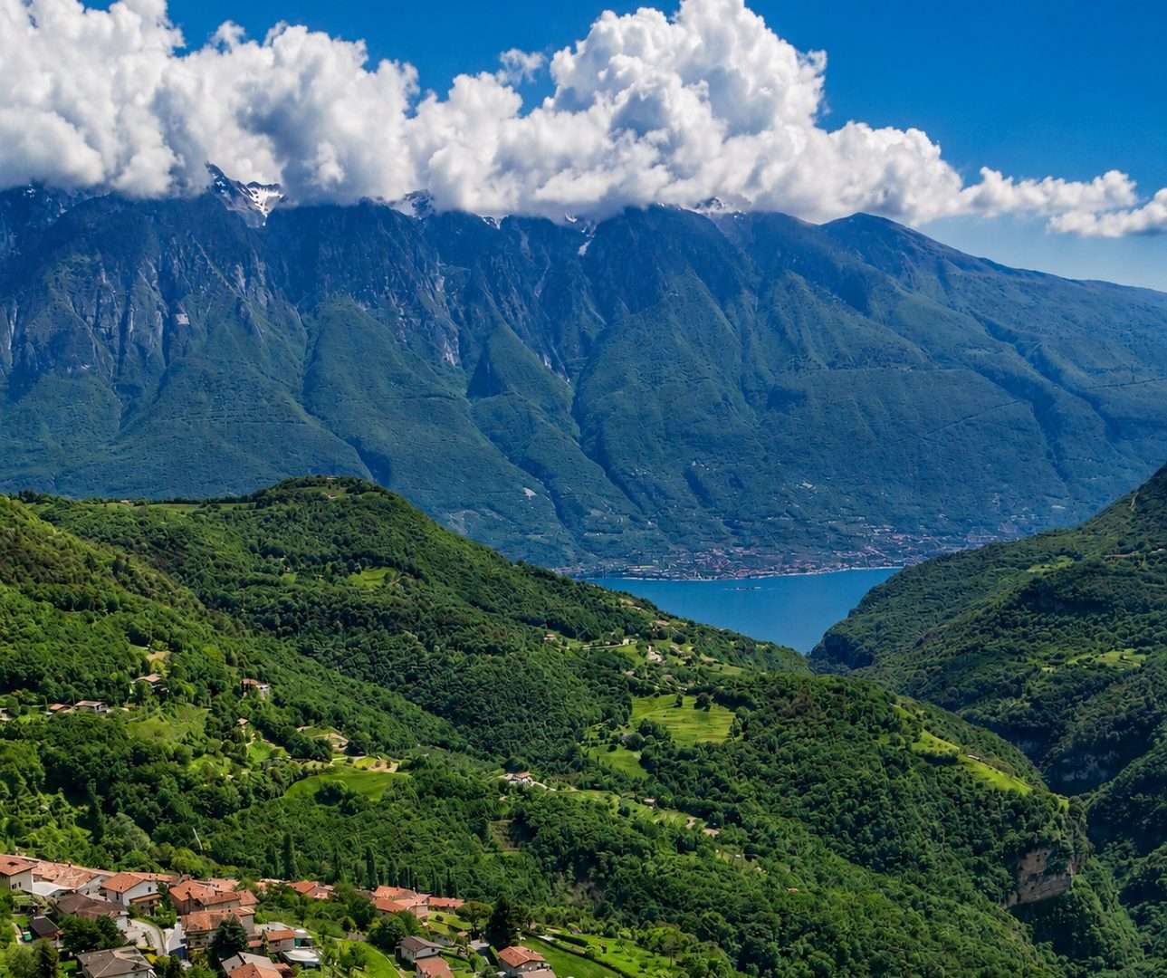
ovestThe plateau of Tremosine sul Garda is a world apart: suspended more than six hundred meters above the lake, it holds a rural way of life that resists the pressures of coastal tourism. This long loop runs through it from side to side, revealing a face of Garda that few visitors get to know.
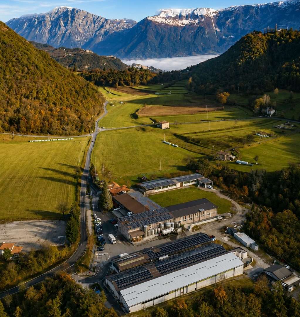
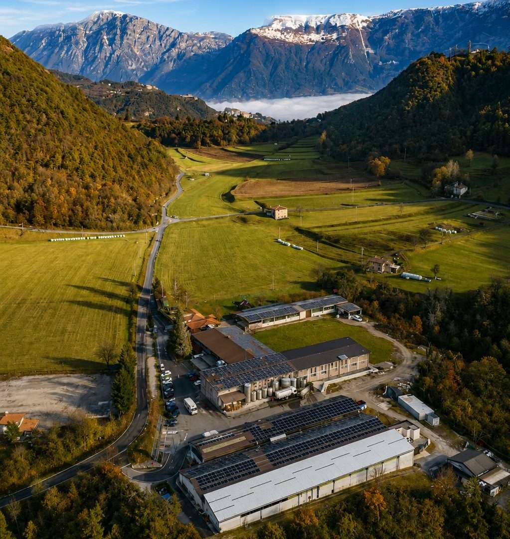
The route starts from Polzone, at the headquarters of the Alpe del Garda Social Cooperative – founded in 1980 and still active in the production of cheese and mountain products – and winds through meadows, woods and stables toward the hamlets of Sermerio, Voiandes and Vesio. Each small hamlet has its own identity, with country churches, ancient fountains and stone houses that tell of generations of rural life.
At Vesio, one crosses the Fitness Trail, a series of en plein air pieces of equipment surrounded by greenery, before descending to a stream and ascending again in the direction of Val d’Egoi, where the farm of the same name is a recommended stop to sample local products. The Stalla Alpe Bio and the Alpe del Garda Cheese Factory complete the picture of a mountain agriculture that is still alive and well.
The low elevation gain relative to the length of the trail makes the route accessible to regular walkers; it is not suitable for absolute beginners because of the length. Hiking shoes are recommended, especially on the dirt and nature trail sections.
Ideal in spring, when the flower-filled meadows offer an extraordinary view, and in autumn during the cheese season. An experience that invites you to slow down and rediscover the authentic Garda of mountain communities.
Points of interest
- Alpe del Garda Social Cooperative
- Sermerio hamlet
- Voiandes hamlet
- Hamlet Vesio
- Farmhouse Val d’Egoi
- Alpe Bio Barn
- Alpe del Garda Cheese Factory
Source: official itinerary sheet on visitparcoaltogarda.it (Ente Parco Alto Garda Bresciano). Technical data, GPX tracks and updated info on official website.
Per le direzioni dettagliate, la traccia GPX scaricabile e le indicazioni passo-passo consulta la scheda ufficiale del percorso:
Starting point coordinates
Gear information is not yet available for this route.
Loading forecast...

Need help planning?
Our AI assistant knows every trail around Lake Garda.
 Ask about this route...


