

La Ciclopista del Garda
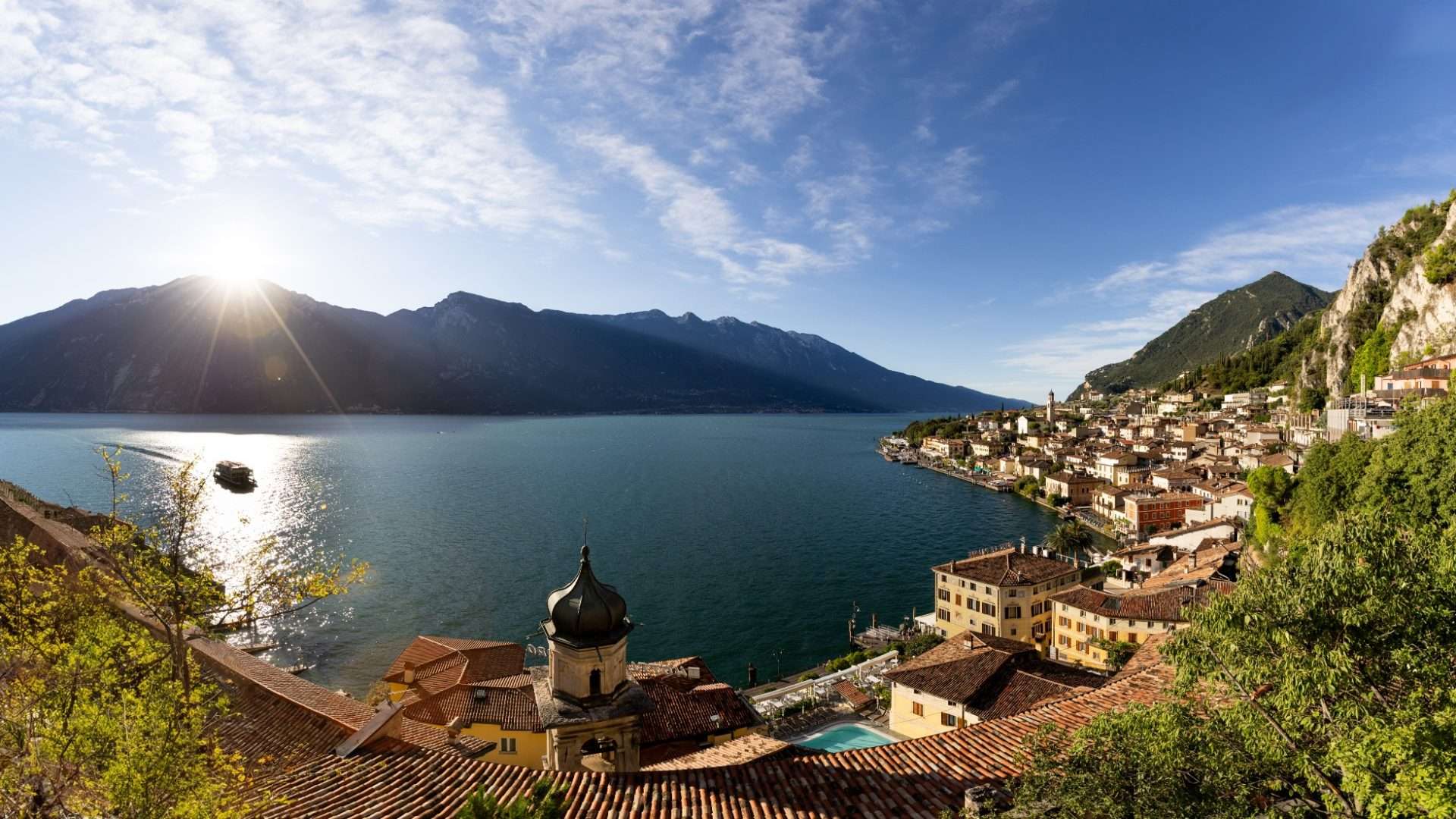
ovestThe Garda Cyclopista is one of the most scenic routes on the Brescia side of the lake, a route that combines history, nature and modern engineering in just 4.6 kilometers suitable for everyone.
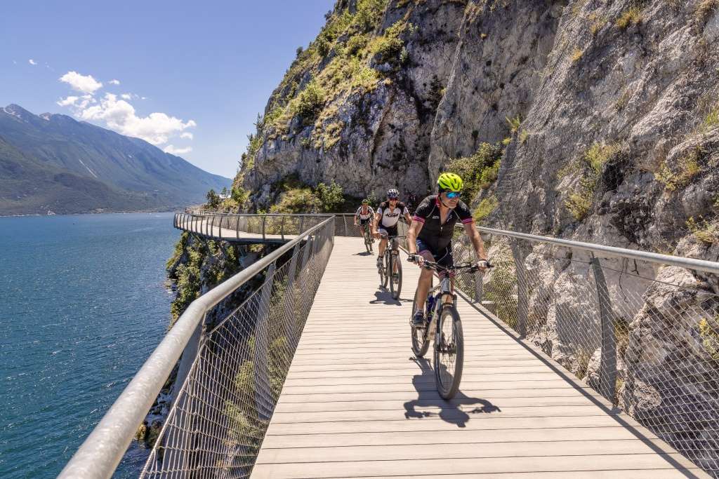
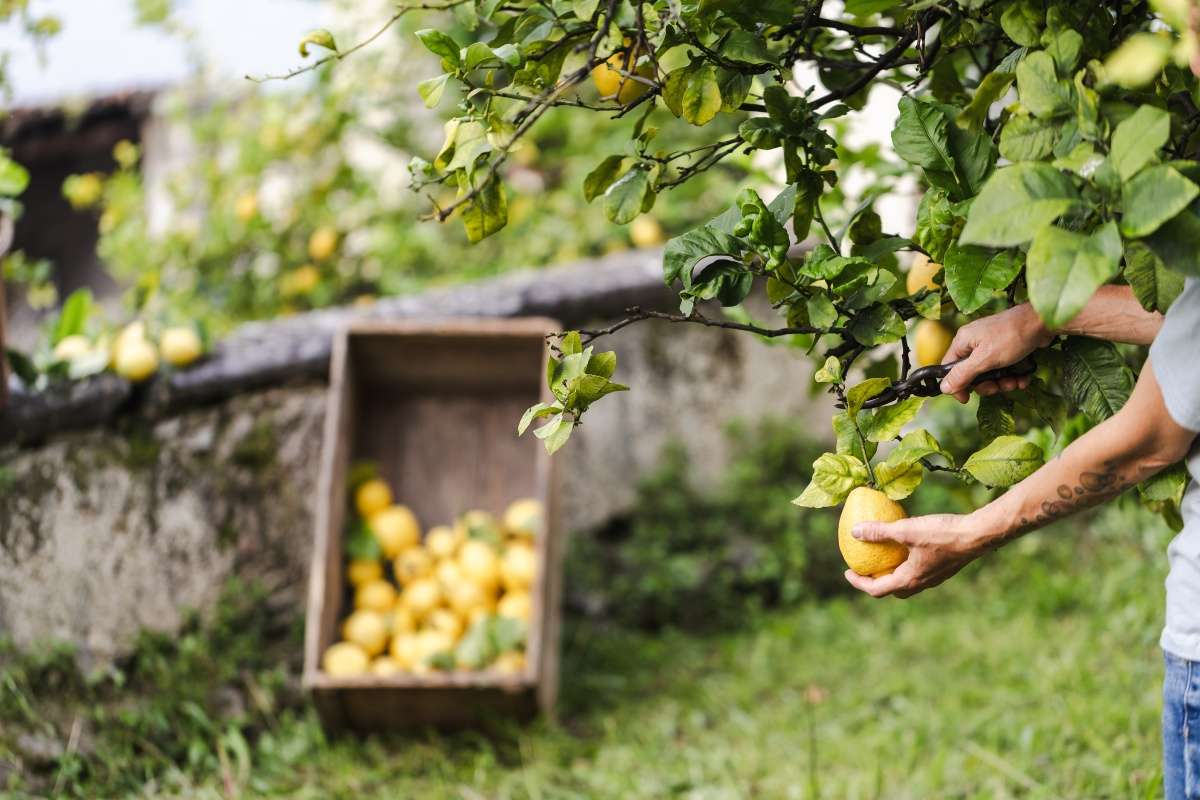
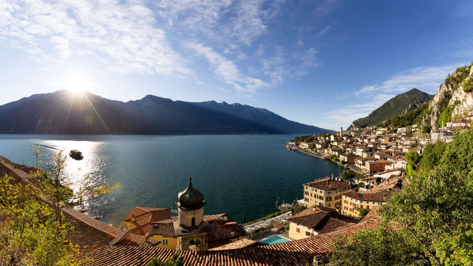
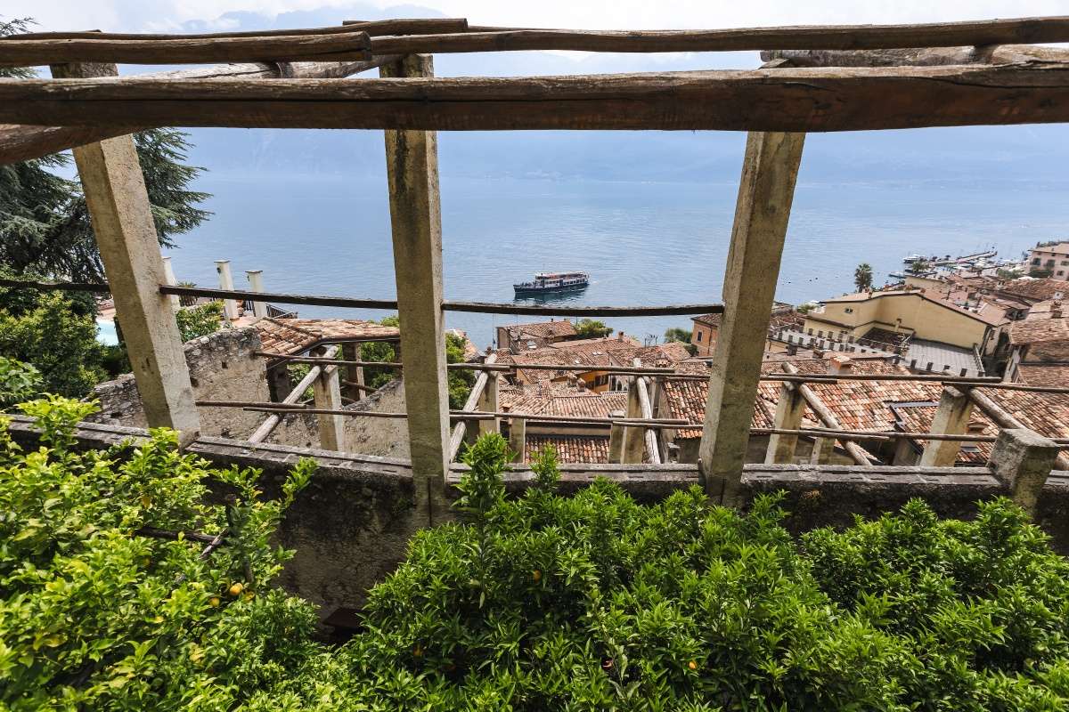
The route starts from the historic center of Limone sul Garda, skirting the harbor and the ancient lemon houses that have made this village famous since the 18th century. Once past the urban core, the path turns into a suspended promenade: walkways anchored directly into the limestone cliff overlook the blue lake, giving unique perspectives that change at every turn.
The high point is reached at Cape Reamol, where the wall drops sheer to the water and the view opens northward to the Riva Alps. The trail touches olive groves, nature trails and historic lanes, alternating between asphalt, dirt and nature trails in a smooth and accessible manner.
Points of interest include the Church of San Rocco, the Museum of Tourism and the terracing of ancient olive groves. The path is illuminated, so it can be walked even in the evening hours to experience special atmospheres. Accessible to people with disabilities, wheelchairs and dogs, it is ideal for families with children.
The return is along the same pivot points, with the possibility of stopping at vantage points to contemplate the lake and surrounding mountains. A short itinerary but dense with landscape and historical memory.
Points of interest
- Port of Limone sul Garda
- Ancient lemon houses
- Cape Reamol (suspended section)
- Museum of Tourism
- Church of San Rocco
- Terraced olive groves
Source: official itinerary sheet on visitparcoaltogarda.it (Ente Parco Alto Garda Bresciano). Technical data, GPX tracks and updated info on official website.
Per le direzioni dettagliate, la traccia GPX scaricabile e le indicazioni passo-passo consulta la scheda ufficiale del percorso:
Starting point coordinates
Gear information is not yet available for this route.
Loading forecast...

Need help planning?
Our AI assistant knows every trail around Lake Garda.
 Ask about this route...


