

Montegargnano village tour
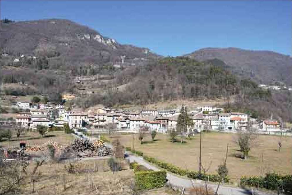
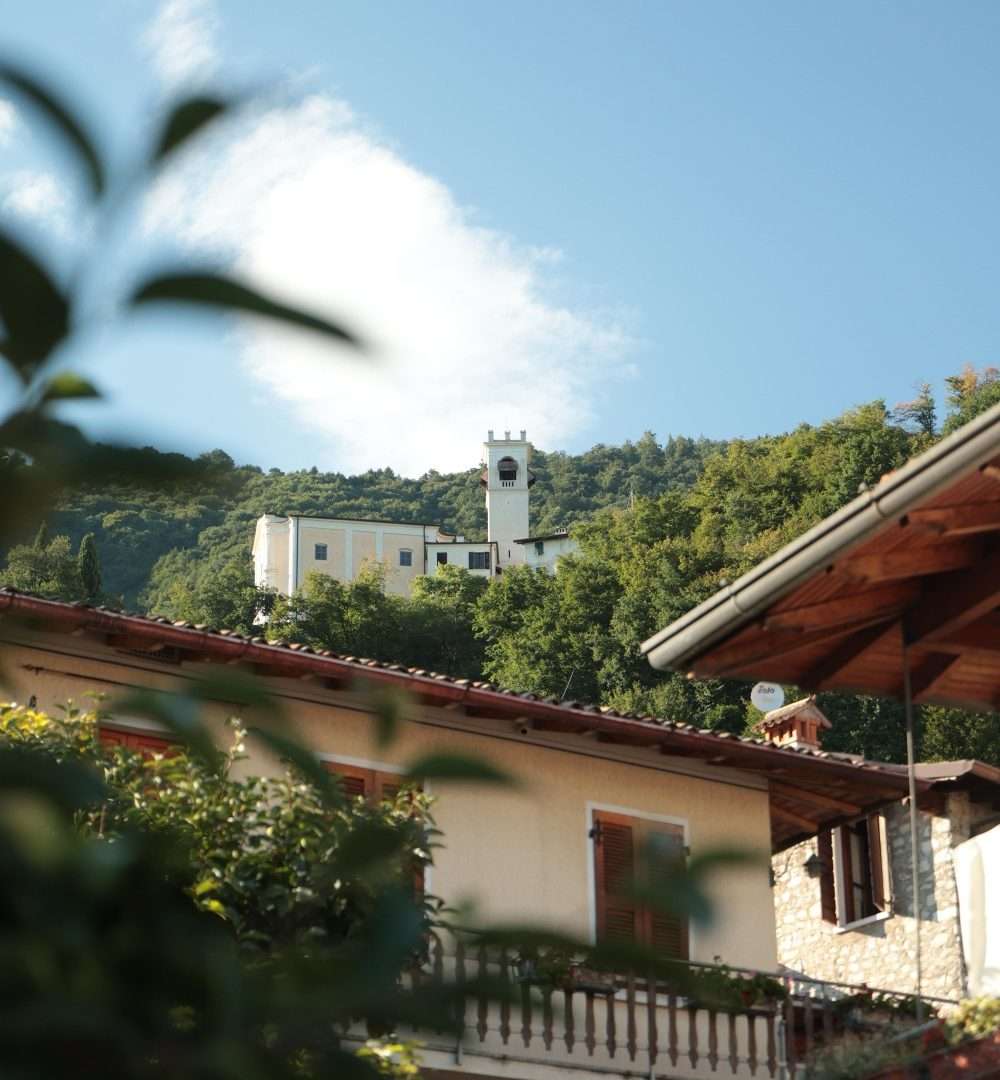
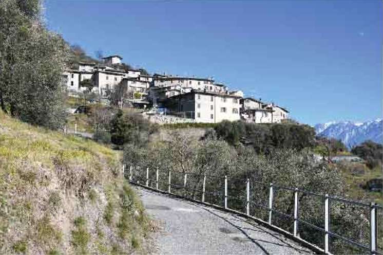
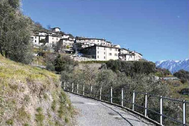
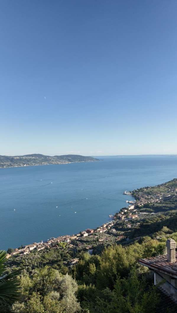
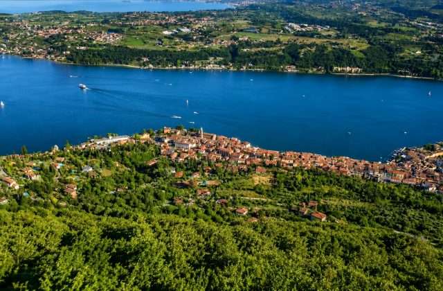
ovestThis loop trail connects five charming hamlets in the municipality of Gargnano – Navazzo, Musaga, Sasso, Liano and Formaga – through about 6.5 kilometers of paths that alternate between olive groves and chestnut forests and historic mule tracks, providing views suspended between the waters of Lake Garda and the surrounding peaks.
The area’s mild climate allows the cultivation of olive trees up to 500 meters above sea level, an extraordinary peculiarity for these northern latitudes. The seasons continually transform the landscape: wild orchids and flowering meadows bloom in spring, while autumn gives the colorful palette of the forests reflected in the lake below.
Along the way we encounter small chapels, votive shrines and well-preserved urban fabric that tell the story of these mountain communities. Religious buildings, signs of popular devotion and traditional architecture follow one another, offering an authentic glimpse into the cultural identity of these villages perched on the flanks of Montegargnano.
A well-balanced hike, accessible to families and casual walkers, capable of combining cultural, architectural and naturalistic experiences in one highly satisfying circular route.
Points of interest
- Church of Navazzo
- Village of Musaga
- Church of Sasso
- Village of Liano
- Village of Formaga
- Location Vertenaghe
- Dosso Barata Area
- Votive wayside shrines
- Historic olive groves
- Chestnut forests
Source: official itinerary sheet on visitparcoaltogarda.it (Ente Parco Alto Garda Bresciano). Technical data, GPX tracks and updated info on official website.
Per le direzioni dettagliate, la traccia GPX scaricabile e le indicazioni passo-passo consulta la scheda ufficiale del percorso:
Starting point coordinates
Gear information is not yet available for this route.
Loading forecast...

Need help planning?
Our AI assistant knows every trail around Lake Garda.
 Ask about this route...


