

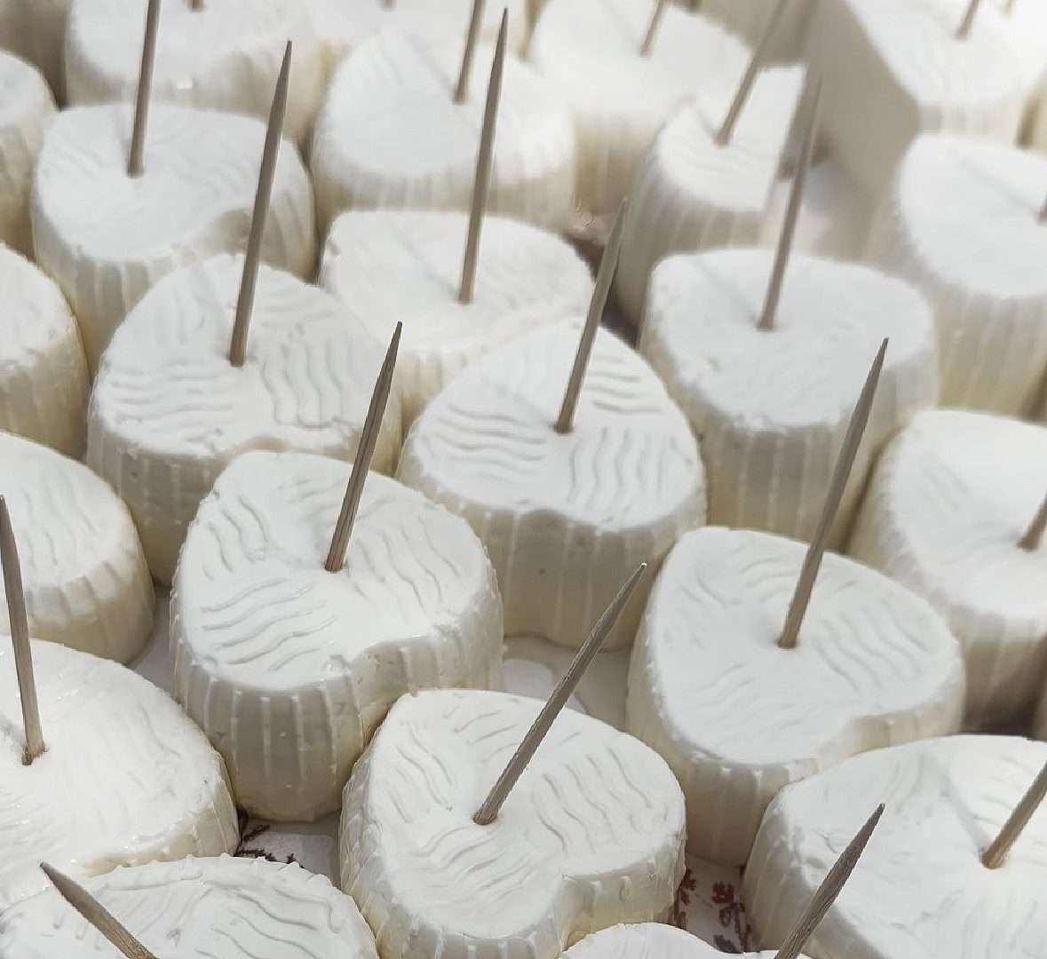
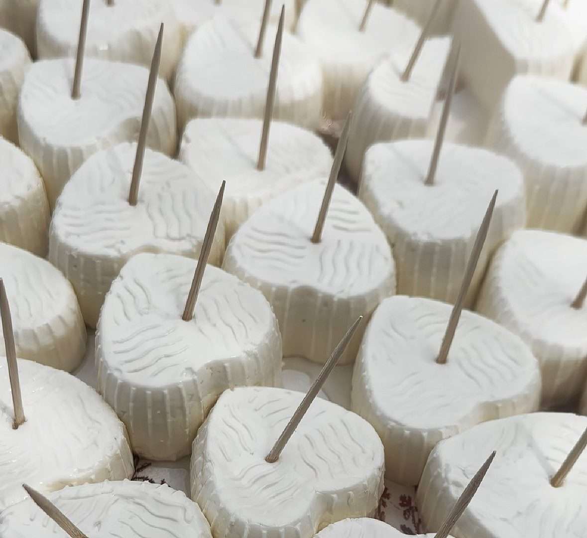
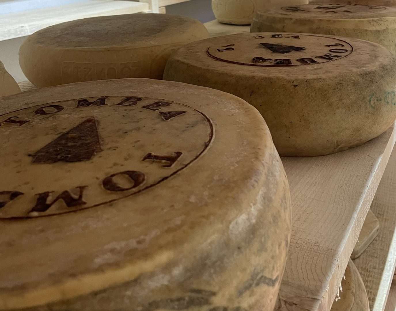
Where Tombea’s cheese is made
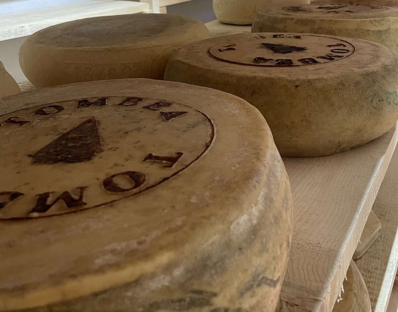
ovestThis short but rich trail introduces visitors to Tombea, an artisanal mountain pasture cheese with deep roots in the pastoral tradition of Valvestino. Made exclusively from the milk of cows that graze freely on high-altitude meadows, Tombea embodies the flavors and rhythms of an authentic mountain.
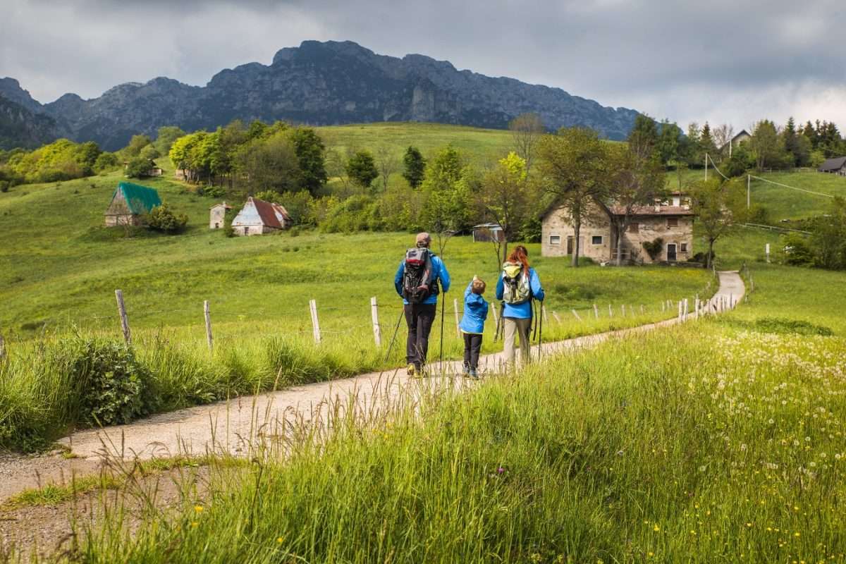
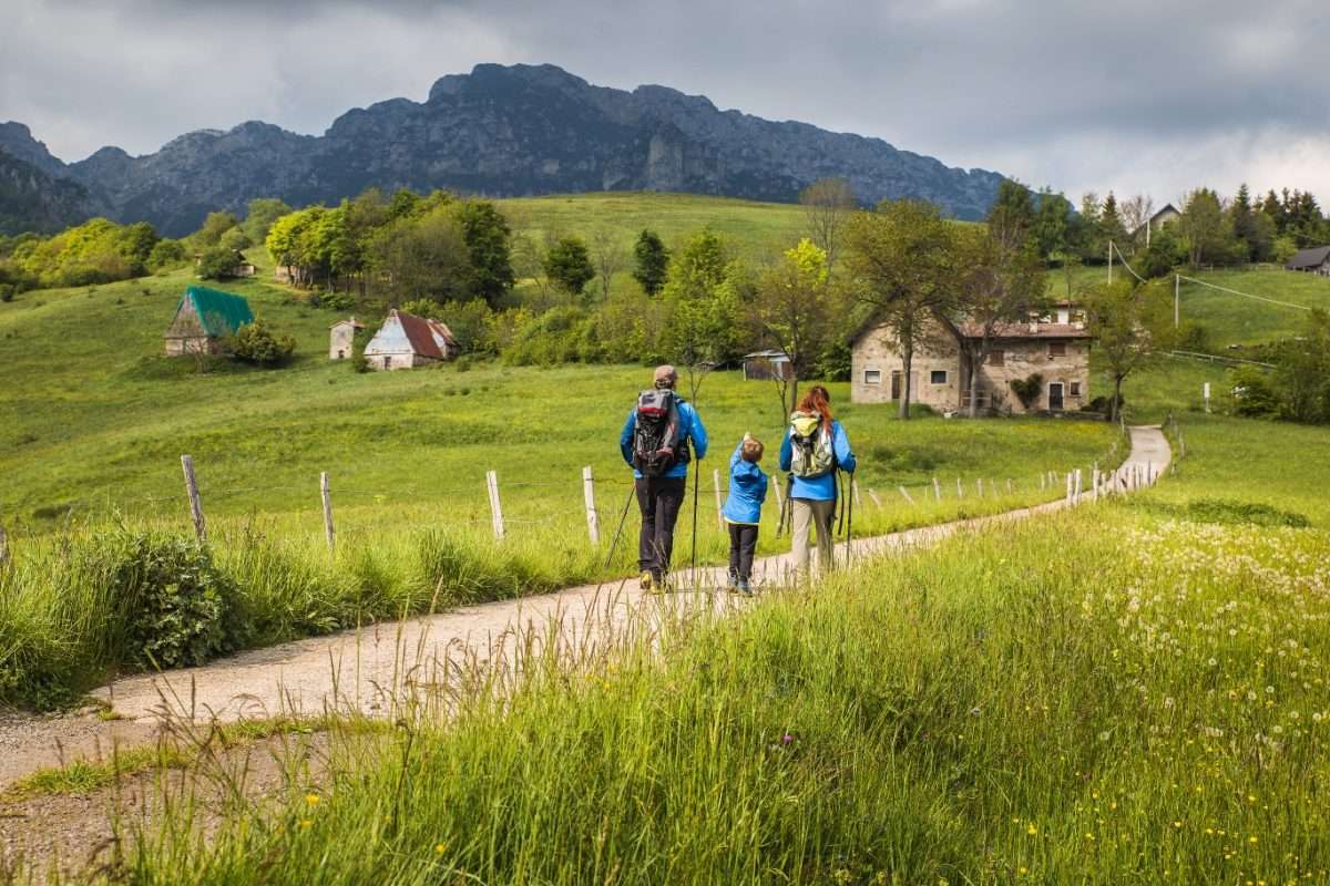
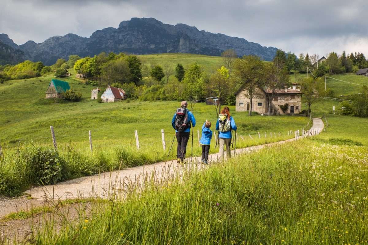
We start at Cima Rest, where the Ethnographic Museum provides valuable context on rural life and ancient dairy production techniques. The trail climbs gently through traditional barns and open pastures, with sweeping views of the Tombea and Caplone peaks. A small alpine chapel punctuates the progression of the walk before the beech forest-with its gnarled, century-old trees-welcomes the walker to a quiet, sheltered atmosphere.
The final destination is Malga Alvezza, the production heart of Tombea cheese. In the summer months it is often possible to buy fresh cheese directly from the alpine dairy farmers, completing the experience with an authentic tasting just steps from the pastures where the milk is collected each morning.
Ideal for families, agritourism enthusiasts and anyone who wants to rediscover the link between territory and traditional food production in one of the less traveled areas of the Alto Garda Bresciano Park.
Points of interest
- Valvestino Ethnographic Museum (Cima Rest)
- Malga Alvezza
- Centennial beech forest
- Alpine pastures
- Chapel of the Alpini
- Traditional barns
Source: official itinerary sheet on visitparcoaltogarda.it (Ente Parco Alto Garda Bresciano). Technical data, GPX tracks and updated info on official website.
Per le direzioni dettagliate, la traccia GPX scaricabile e le indicazioni passo-passo consulta la scheda ufficiale del percorso:
Starting point coordinates
Gear information is not yet available for this route.
Loading forecast...

Need help planning?
Our AI assistant knows every trail around Lake Garda.
 Ask about this route...


