

The astronomical observatory and the beech forest
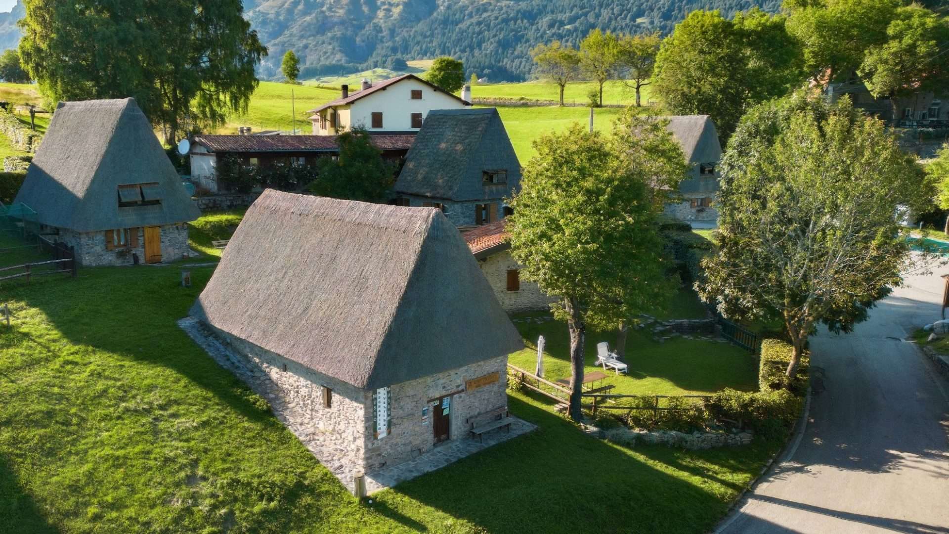
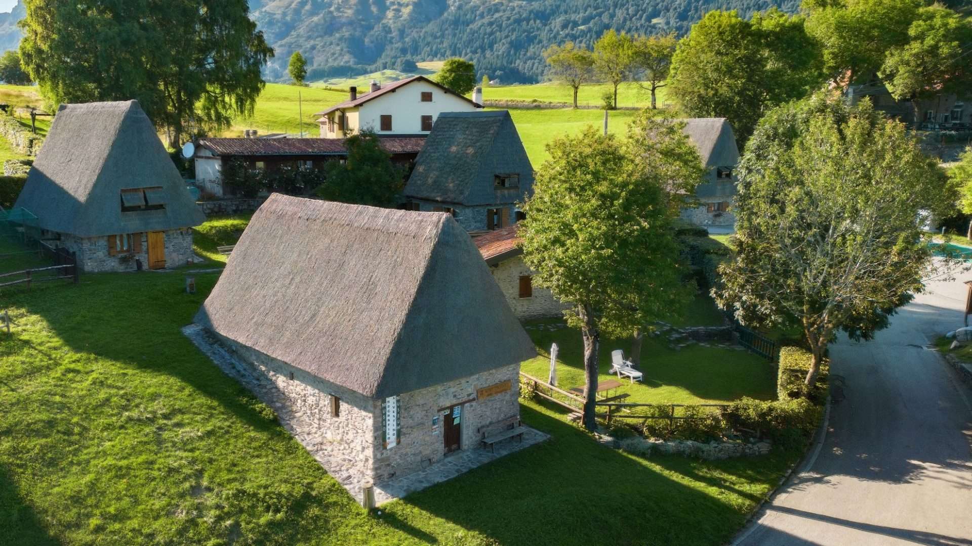
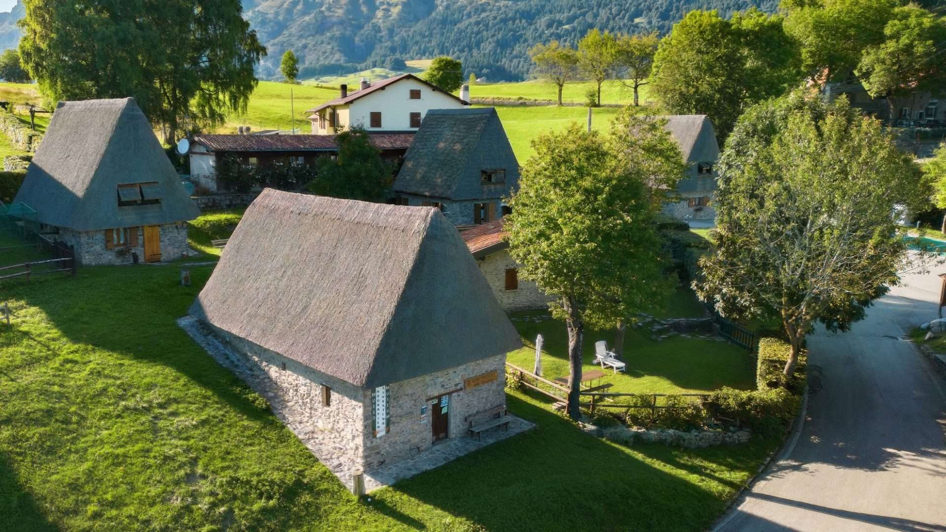
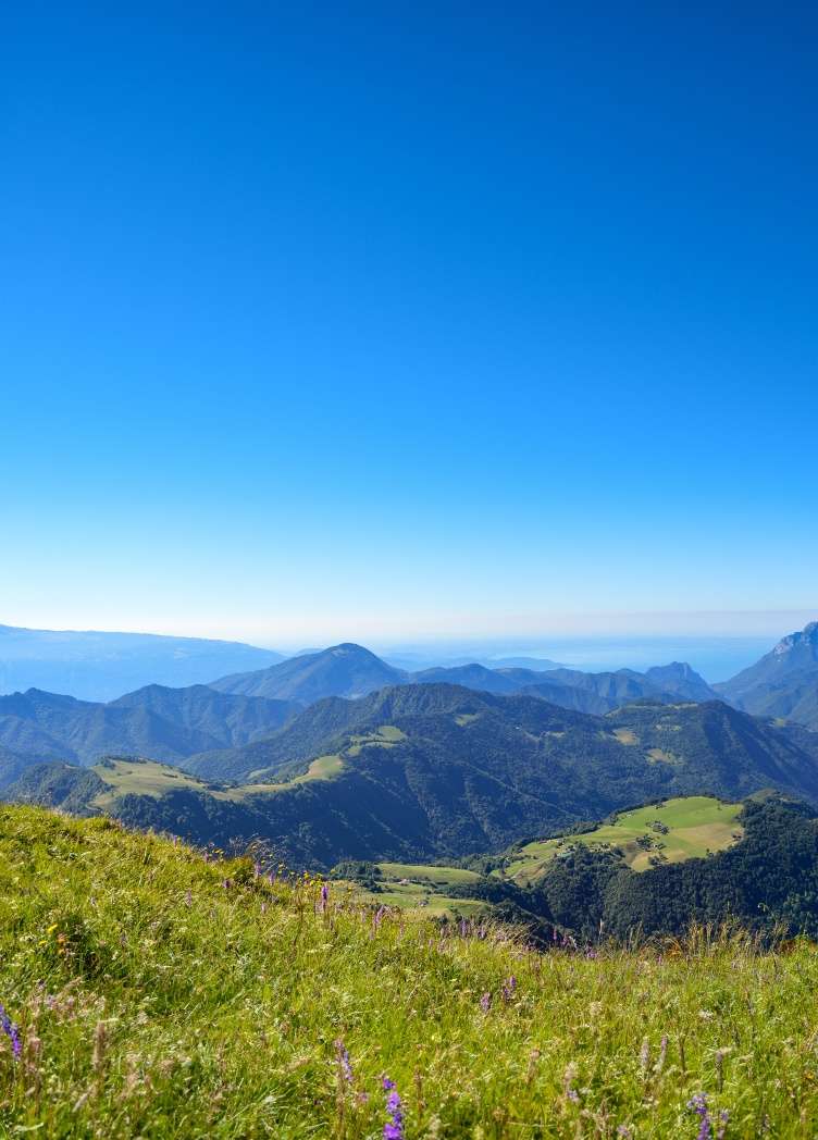
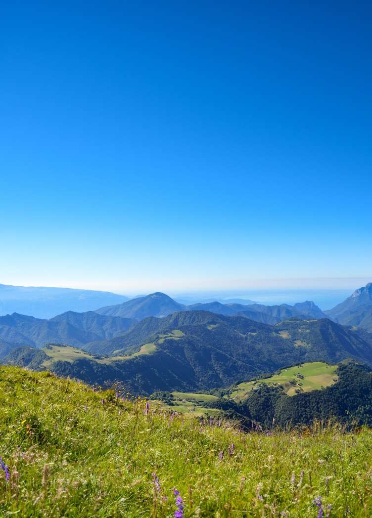
ovestCima Rest is a plateau suspended at 1,200 meters above sea level, characterized by traditional barns and views that sweep toward the peaks of Caplone and Tombea. From this plateau begins a short but scenic route that reaches the beech forest of the Malga Corva refuge, crossing pastures maintained by local agro-pastoral activity.
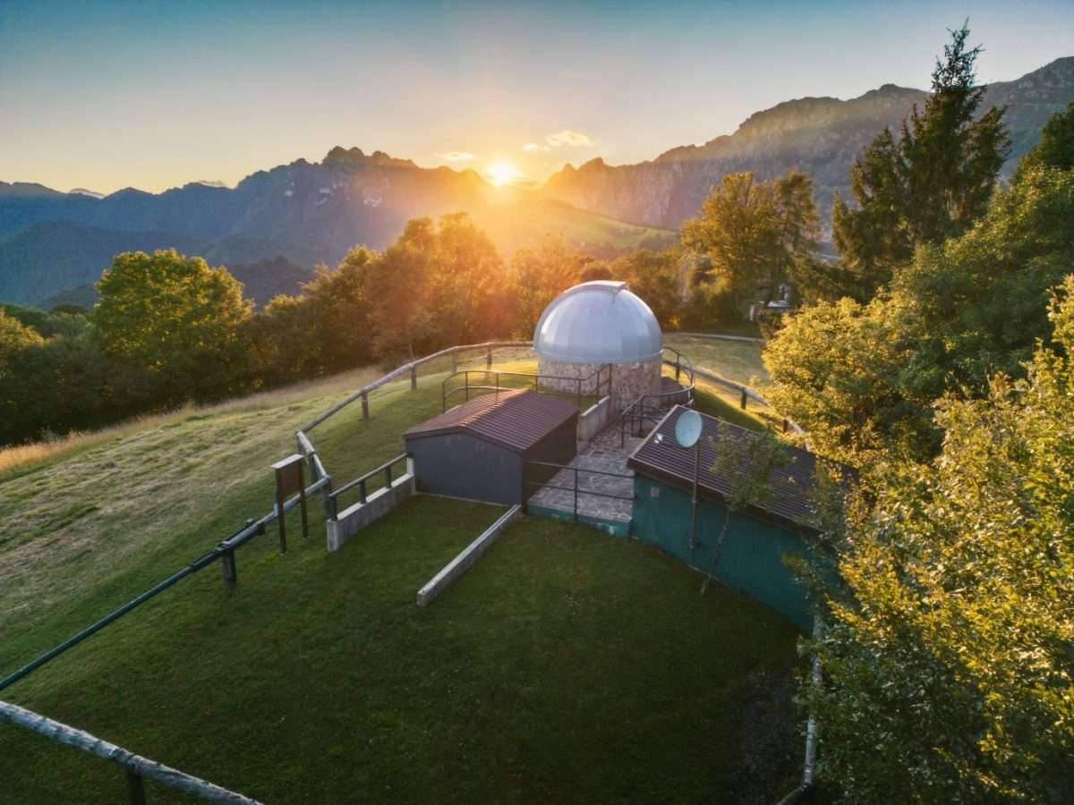
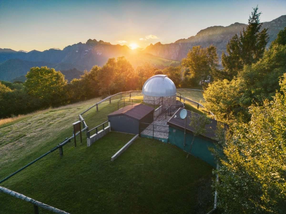
The route’s most unusual attraction is the Astronomical Observatory at Cima Rest, run by the Astronomical Association of Salò and included in the Valvestino Ecomuseum. The observatory’s discrete dome fits harmoniously into the alpine landscape, and on clear evenings it offers telescope sessions for observing planets and constellations, a rarity for these latitudes so close to the lake.
Continuing on, the path enters the beech forest that surrounds the Malga Corva refuge, where sizeable specimens of beech trees create a shady and quiet atmosphere, pleasantly cool even in the summer months. The refuge is an ideal stopping point for those who wish to extend their visit or combine this itinerary with the Tombea cheese itinerary, starting from the same point.
A short and accessible hike for everyone, also suitable for families with young children, combining nature, scientific culture and ethnographic heritage in a few kilometers of light walking.
Points of interest
- Cima Rest Plateau (1,200 m)
- Astronomical Observatory
- Malga Corva Refuge
- Monumental beech forest
- Valvestino Ethnographic Museum
- Spiass Barn
Source: official itinerary sheet on visitparcoaltogarda.it (Ente Parco Alto Garda Bresciano). Technical data, GPX tracks and updated info on official website.
Per le direzioni dettagliate, la traccia GPX scaricabile e le indicazioni passo-passo consulta la scheda ufficiale del percorso:
Starting point coordinates
Gear information is not yet available for this route.
Loading forecast...

Need help planning?
Our AI assistant knows every trail around Lake Garda.
 Ask about this route...


