

Fort Naole – Trail 662
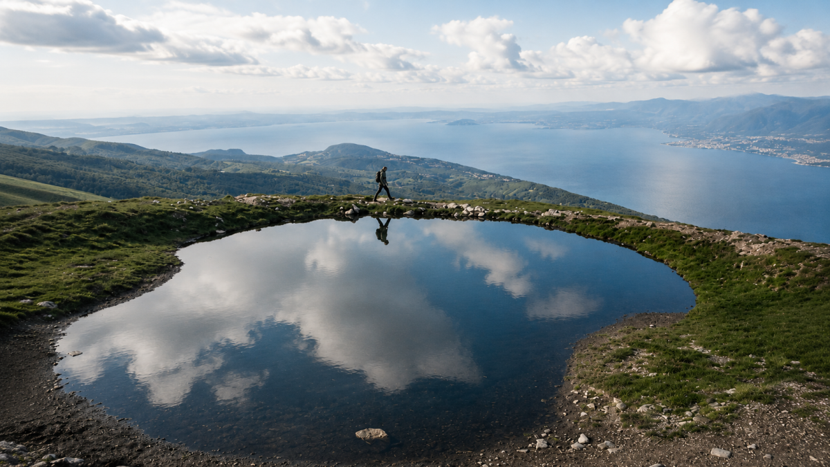
Ferrara di Monte BaldoSentiero 662 al Forte Naole is a hike of medium difficulty that combines history and nature on the ridges of Monte Baldo. 10 km through alpine meadows, woods and the ruins of an Austro-Hungarian fort from the First World War, with views from Lake Garda to the Adige Valley.
The route
The route starts at Ferrara di Monte Baldo (850 m) and climbs along path no. 662, which passes through beech woods before opening out onto the meadows of the Baldo ridge. The trail is well-marked and partly follows the old military roads built during the Great War, when Monte Baldo was the front line between Italy and Austria-Hungary.
The height difference of 600 metres is constant but never extreme, with a couple of steeper sections that require some effort. The view gradually opens up to embrace the entire Adige Valley and, towards the west, Lake Garda.
Fort Naole
Fort Naole is an imposing Austro-Hungarian fortification built at the end of the 19th century to defend the Adige Valley. The remains of the fort – thick walls, artillery emplacements and underground tunnels – can be visited and tell a dramatic chapter in the border history of these mountains. Information panels along the route explain the historical context and the life of the soldiers in the trenches.
Practical tips
Medium difficulty, suitable for hikers with basic experience. Hiking boots, water and windproof jacket. The path is exposed on the ridge – avoid windy days. Bring a torch to explore the fort tunnels. Period: May-October. Parking at Ferrara di Monte Baldo. Can be combined with the ascent to Cima Valdritta for more experienced hikers.
Characteristics
Directions
From the Bocca di Navene parking area, take trail 662 which climbs towards Forte Naole, an Austro-Hungarian fortification from World War I. The route crosses meadows and forests on the eastern slopes of Monte Baldo.
You reach the fort, which is well-preserved and open to visitors, with views over the Val d'Adige. The return can be made as a loop passing through the Cresta di Naole.
How to get there
By car: from Rovereto head towards Brentonico and continue to Bocca di Navene. From Riva del Garda go up through the Valle di Loppio and Brentonico. By public transport: bus to Brentonico, then continue on foot or by taxi.
Where to park
Parking at Bocca di Navene. Free, limited spaces on weekends.
Starting point coordinates
Recommended gear
Trekking shoes. Windproof jacket (the area is windy). Water, food, sunscreen. Flashlight to explore inside the fort.
Safety
Well-marked trail. Inside the fort be careful of elevation changes and narrow passages. Do not enter areas marked as dangerous. Route suitable for families. Emergency: 112.
Loading forecast...

Need help planning?
Our AI assistant knows every trail around Lake Garda.
 Ask about this route...


