

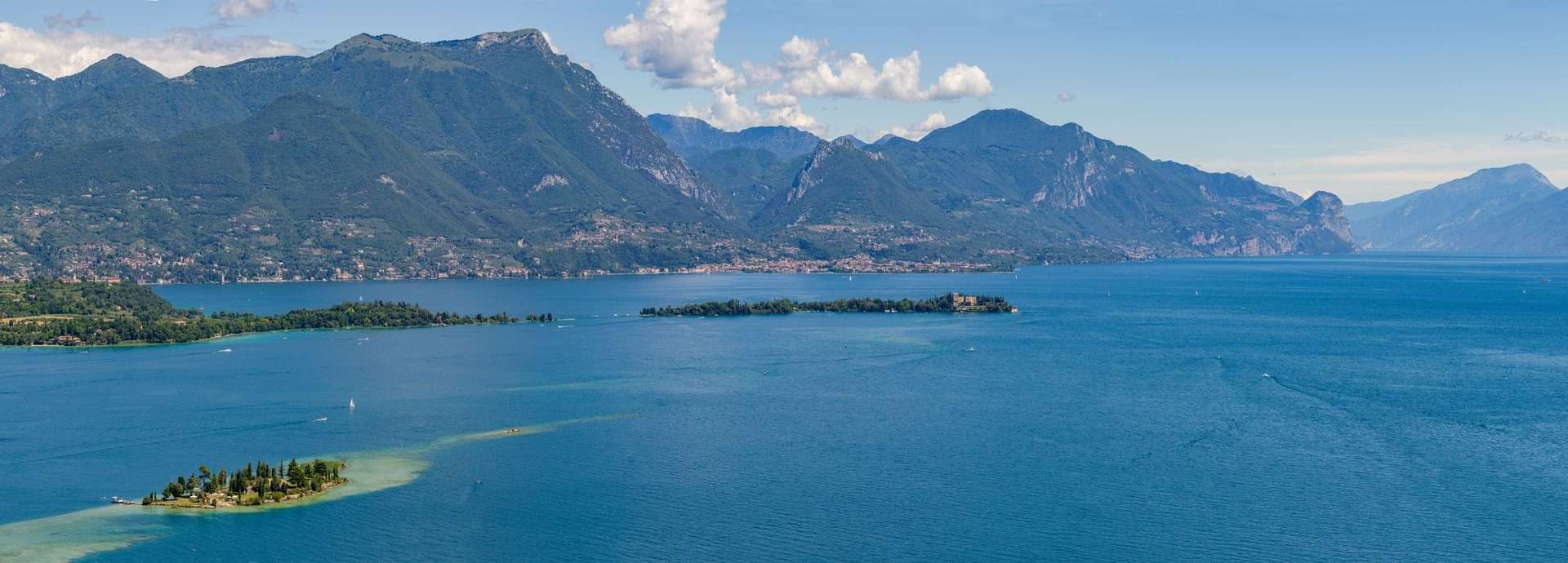
The Valtenesi Cycle Route from Lonato to Salò is a 23.4 km cycle route that crosses the entire Valtenesi valley from east to west, from the inland moraine hills to the Gulf of Salò. A cycling trip through castles, vineyards, olive groves and medieval villages.
The route
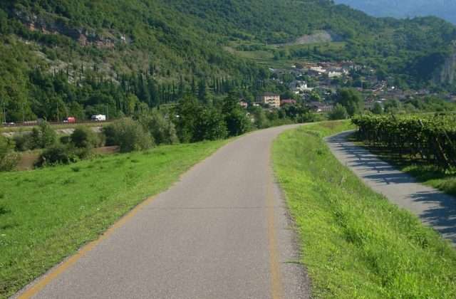
The route starts from the Rocca Viscontea of Lonato and pedals westwards through the hills of the Valtenesi. The undulating route alternates climbs and descents (440 m total height difference) through an agricultural landscape where vines and olive trees dominate the land.
The villages traversed are jewels of the Brescian Riviera: Polpenazze with its vineyards, Moniga with its castle-recinto, Padenghe with its medieval tower. Each village offers the opportunity for a food and wine stop among wine cellars and oil mills.
The arrival in Salò
The final descent to Salò is scenic: the gulf gradually opens up with its blue waters and mountains in the background. The lakeside promenade of Salò, with its cafés and restaurants, is the perfect reward for the ride. From Salò the return to Lonato is possible by bus or continuing by bike along the Gardesana road.
Practical advice
Medium-difficult route on paved secondary roads. With e-bikes the ups and downs become manageable for everyone. Plan stops for Chiaretto and Groppello tastings. The best time of year is April-October, with autumn particularly striking for the colours of the vineyards. Rental bikes are available in Desenzano and Salò.
Characteristics
Directions
The Valtenesi Cycle Route connects Lonato del Garda to Salò through the hilly inland area. The route follows secondary roads and cycle paths between the moraine hills, vineyards and olive groves of the Valtenesi.
It passes through the villages of Padenghe, Moniga, Manerba and San Felice del Benaco. The route offers a scenic and peaceful alternative to the busy coastal road along Lake Garda.
How to get there
By car: depart from Lonato or Salò. From Brescia approximately 25 minutes to Lonato. By public transport: train to Desenzano, then bus to Lonato or Salò.
Where to park
Parking in Lonato (town centre, free) or in Salò (harbour, paid in summer).
Starting point coordinates
Recommended gear
Road or gravel bike. Helmet recommended. Plenty of water, food, sunscreen. The route has some ups and downs.
Safety
Route on secondary roads with moderate traffic. The hills have light but constant slopes. Observe traffic regulations. Bring plenty of water in summer.
Loading forecast...
Need help planning?
Our AI assistant knows every trail around Lake Garda.
 Ask about this route...


