

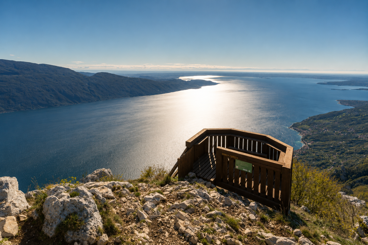
A challenging hike that leads to the twin peaks of Monte Denervo and Cima Comer, offering extraordinary views of Lake Garda and the surrounding mountains.
The route starts from the car park in Valle Briano, below the ANA Gargnano Refuge at an altitude of around 975 metres, and follows narrow and sometimes rocky mountain paths. The climb is steady and requires a good level of physical fitness, but the reward is a panorama sweeping from the lake to the peaks of the Pre-Alps.
The peaks
Monte Denervo (1,447 m) is the first peak to be reached: from here the view opens up to 360 degrees, with Lake Garda stretching southwards and the mountains of Trentino to the north. Continuing along the ridge we reach Cima Comer (1,269 m), the second peak of the circular route, with an equally spectacular panorama but from a different perspective.
The route
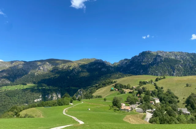
The ring route follows paths through areas of landslides and rocky terrain, interspersed with stretches in the forest. The variety of the landscape is remarkable: we pass from beech forests to high-altitude meadows, with geological outcrops testifying to the thousand-year history of these mountains. The return to Rifugio Gargnano closes the loop, where it is possible to refresh oneself before the descent.
Characteristics
Directions
From the Valle Briano parking area, you reach the ANA Gargnano Refuge (989 m). From here, take the trail that climbs towards Monte Denervo through the beech forest.
The ascent is constant and on a narrow trail, with some sections on rocky terrain and landslide areas. After about 1 hour, you reach the summit of Monte Denervo (1,447 m).
Continue along the ridge towards Cima Comer (1,269 m), with a stretch of descent and ascent. The return is via the other side of the loop, returning to Rifugio Gargnano.
How to get there
By car: from Gargnano head inland following signs for Navazzo and then for Rifugio Gargnano / Valle Briano. Narrow and winding mountain road in the final stretch.
From Brescia: SS45bis until Gargnano, then head inland.
Where to park
Parking in Valle Briano, below the ANA Gargnano Rifugio at approximately 975 m elevation. Limited spaces.
Starting point coordinates
Recommended gear
Mountain boots with high ankle support and rigid sole. Trekking poles recommended. Bring at least 1.5 liters of water, energy food, windproof jacket and spare clothing. Trail map of the area.
Safety
Mountain trail with exposed sections and unstable terrain (landslide zones). Not suitable for small children or inexperienced hikers. Check weather conditions before departing. In case of fog or storms, turn back. Emergencies: 112.
Loading forecast...
Need help planning?
Our AI assistant knows every trail around Lake Garda.
 Ask about this route...


