

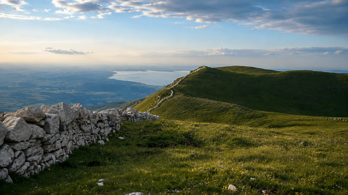
Naole Ridge
San Zeno di MontagnaThe Cresta di Naole is a panoramic excursion to the peaks of Monte Baldo in the Verona area: a 12 km loop with 650 metres of altitude difference along the ridge that separates the Garda side from the Adige Valley. A route of medium difficulty that offers spectacular views on both sides and stops at mountain refuges.
The route
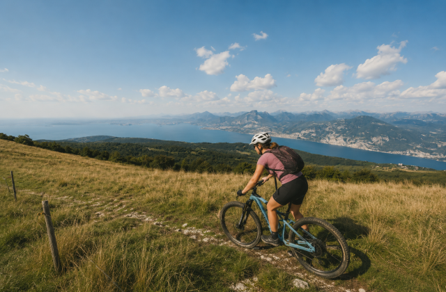
Start from San Zeno di Montagna and climb towards the crest through beech woods and flower-filled meadows. The loop follows the ridge at altitude with alternating views: to the west Lake Garda shimmers between the mountains, to the east the Adige Valley stretches towards Verona with its vineyards and orchards.
The route is circular with the possibility of variants that lengthen or shorten the tour. The trails are well signposted and the terrain varies from beaten earth to gravel, with some steeper sections on the uphill side.
Refreshment points
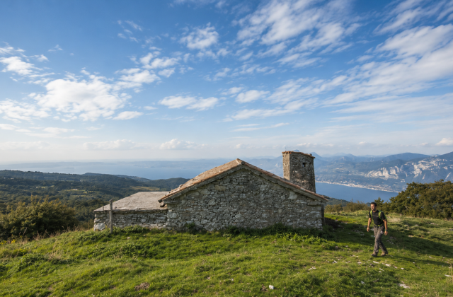
Along the route, several refuges and ‘malghe’ (shepherd’s huts) offer the mountain cuisine of Baldo: polenta, cheeses, local cold cuts and Monte Veronese DOP, a typical local cheese. Stops at refuges are the best time to recover energy and enjoy the panorama in tranquillity.
Practical advice
Medium difficulty with good training required for the length. Hiking boots, poles useful for the descent. On the ridge, the wind can be strong – bring a windproof jacket even in summer. The ideal period is from May to October. San Zeno di Montagna can be reached by car from Garda and Caprino Veronese. Car park at the trailhead.
Characteristics
Directions
From Bocca di Navene, take the trail that climbs along the Cresta di Naole, one of the most panoramic ridges of Monte Baldo. The route follows the crest with views of the Val d'Adige on one side and Lake Garda on the other.
Reach the summit (1,664 m) and continue towards Forte Naole or return by the same route. The loop trail that includes the fort and trail 662 is particularly recommended.
How to get there
By car: reach Bocca di Navene from Brentonico or from Valle di Loppio. From Rovereto approximately 30 minutes. By public transport: bus to Brentonico, then continue.
Where to park
Parking at Bocca di Navene. Free.
Starting point coordinates
Recommended gear
Trekking shoes with rigid soles. Windproof jacket (the ridge is very exposed). Walking poles recommended. Water, food, sunscreen.
Safety
The ridge is exposed to wind and not suitable in case of storms. Do not hike in unstable weather. Some sections are laterally exposed. Medium difficulty trail. Emergencies: 112.
Loading forecast...
Need help planning?
Our AI assistant knows every trail around Lake Garda.
 Ask about this route...


