

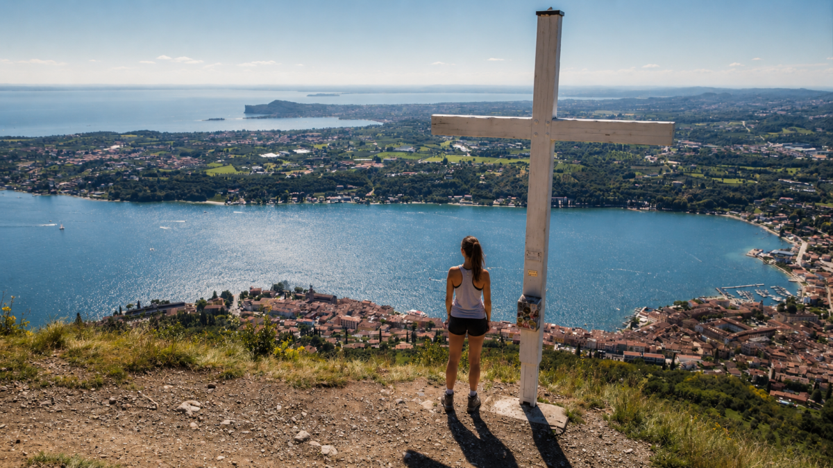
The Tour dei Santuari verso la Croce di Salò is a medium-difficulty hike that climbs from the riviera to the hilly hinterland, passing historic shrines and vantage points with views of the gulf. 7.4 km with 535 metres of altitude difference through shady woods and resin-scented paths.
The route
It starts in the centre of Salò and climbs towards the hills surrounding the gulf. The path crosses pine and holm-oak woods, typical of the Mediterranean vegetation of Lake Garda. Along the way there are votive chapels and small shrines that bear witness to the popular devotion of these lakeside communities.
The Croce di Salò, at the top of the hill, is the most spectacular vantage point: the gulf of Salò stretches out beneath your feet in its perfect shape, framed by the mountains and villages of the riviera. The view sweeps from the Isola del Garda to Gardone Riviera, from Monte Pizzocolo to the Valtenesi hills.
The sanctuaries
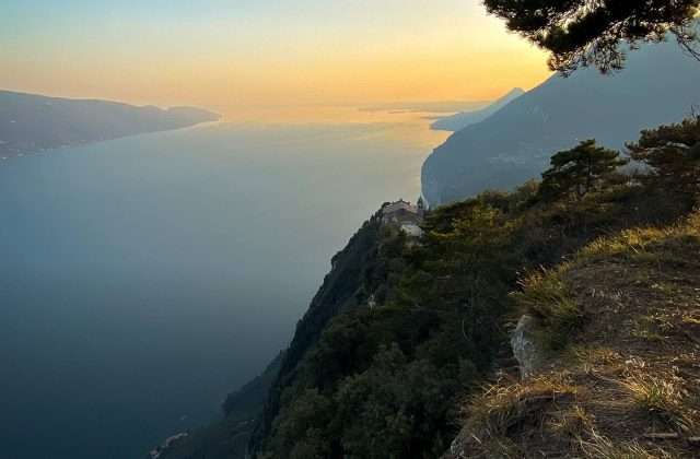
The route touches on the Sanctuary of the Madonna del Rio, immersed in the woods, and other places of worship dotting the hills. These sanctuaries, built between the 15th and 18th centuries, are testimonies of popular faith with votive frescoes and ex-votos telling stories of graces received.
Practical advice
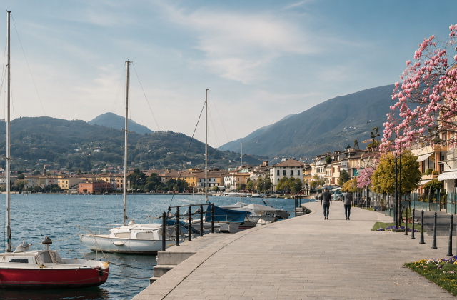
A hike of medium difficulty, suitable for hikers with a fair amount of training. The route is shady for much of the way, pleasant even in summer. Hiking shoes recommended. Bring water. The best time of year is spring and autumn. After the hike, Salò’s lakeside promenade is the perfect reward with its cafés and restaurants.
Characteristics
Directions
From Salo you climb towards the Cross of Salo, the panoramic point that overlooks the gulf. The route touches the historic sanctuaries in the hills above the city, passing through forests of olive and cypress trees.
From the Cross you can enjoy a spectacular view of the Salo gulf and the entire lower lake. The descent is circular, passing through paths among the olive groves.
How to get there
By car: reach Salo. The trail starts from the city center. From Brescia approximately 30 minutes. By public transport: bus to Salo.
Where to park
Parking in Salo, city center or port area. Paid in summer.
Starting point coordinates
Recommended gear
Light trekking shoes. Water, sunscreen, hat. The route has sections exposed to the sun.
Safety
Trail with moderate uphill sections. Some panoramic points are not protected. Route suitable for families with children who walk well. Dogs allowed on leash.
Loading forecast...
Need help planning?
Our AI assistant knows every trail around Lake Garda.
 Ask about this route...


