

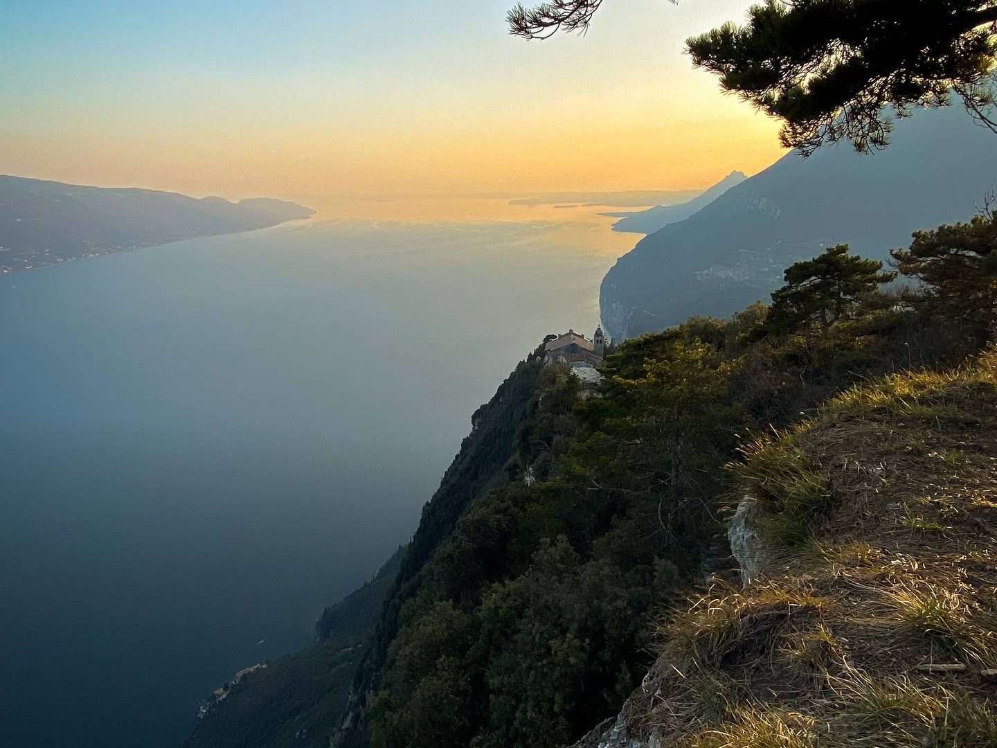
The San Michele – Monte Cas trail is a classic inland Garda MTB route that starts in Salò and leads into the woods of the Brescia Riviera. A 22 km loop with 850 metres of altitude difference that combines climbs on forest roads and descents on single tracks in the heart of a wild environment, just a few minutes from the mundanity of the lakeside.
The route
The route starts in the centre of Salò and climbs inland along the San Michele valley, following forest roads that climb among chestnut and oak trees. The climb is steady but never extreme, allowing you to enjoy the panorama that gradually opens up over the Gulf of Salò.
On reaching the Forra di San Michele, the landscape changes: rock walls, streams and lush vegetation create an almost Alpine ambience. From here we continue towards Monte Cas, where the forest thins out and spectacular views of the Brescian Riviera and the upper lake open up.
The descent
The most exhilarating part of the tour is the descent: fun single track between roots and stones, with technical passages that require a good command of the bike. The terrain varies from compact to stony, with some exposed sections that provide adrenalin rushes. The return towards Salò follows a panoramic path that rejoins the valley.
Practical advice
Route suitable for intermediate bikers with good physical preparation. MTB front-suspended or better full-suspended. Bring sufficient water: there are no fountains along the route. The ideal season is from March to November. After the tour, Salò offers restaurants and ice cream parlours along the lakeside for a well-deserved refreshment.
Characteristics
Directions
From the Sanctuary of San Michele above Gardone Riviera, take the trail that climbs towards Monte Cas. The route passes through broadleaf forests and scenic stretches with views of the lake and the Brescia shoreline.
You reach the summit of Monte Cas (1,108 m) with a 360-degree panorama. The descent follows a loop trail that returns to the starting point via the opposite slope.
How to get there
By car: from Gardone Riviera, head toward the Sanctuary of San Michele following the signs. About 10 minutes from Salò. By public transport: bus to Gardone Riviera, then walk up to the sanctuary (approximately 30 minutes).
Where to park
Parking at the Sanctuary of San Michele. Limited spaces.
Starting point coordinates
Recommended gear
Trekking shoes with anti-slip soles. Trekking poles recommended. Water (at least 1.5 liters), food, windproof jacket. Sunscreen for exposed sections.
Safety
Trail with steep sections and uneven terrain. Some scenic points are not protected. Check weather conditions before setting out. Dogs allowed on leash. Emergencies: 112.
Loading forecast...
Need help planning?
Our AI assistant knows every trail around Lake Garda.
 Ask about this route...


