

In the footsteps of the bandit Zanzanu
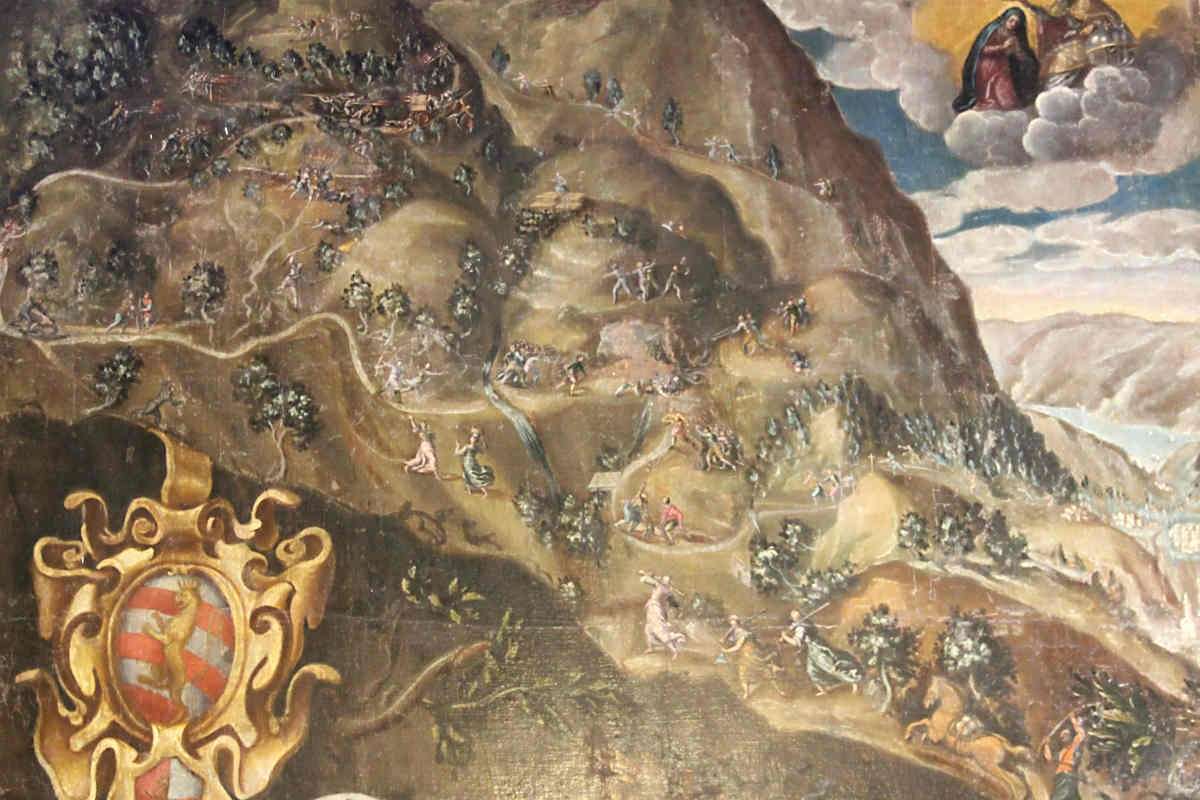
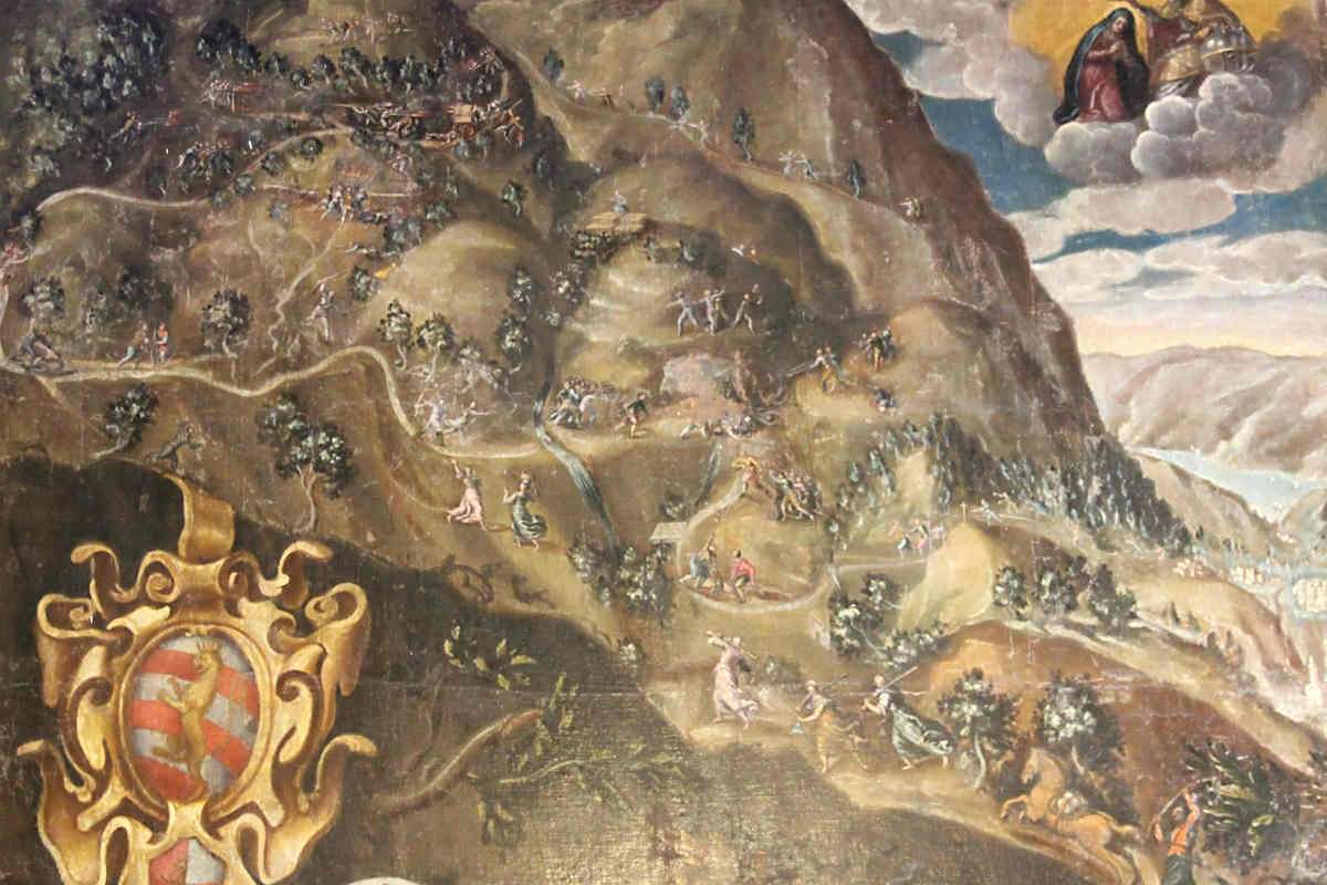
ovestGiovanni Beatrice, known as Zanzanù, was the most feared bandit of seventeenth-century Upper Garda: for decades he raged through the mountains of Brescia and Verona, eluding Venetian authorities with legendary mobility. He was killed on August 17, 1617 near Tignale, and this thematic loop retraces the places of that extraordinary story through woods and views that seem not to have changed since then.
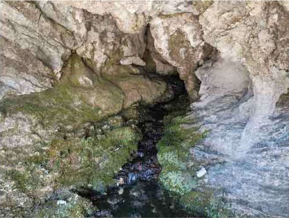
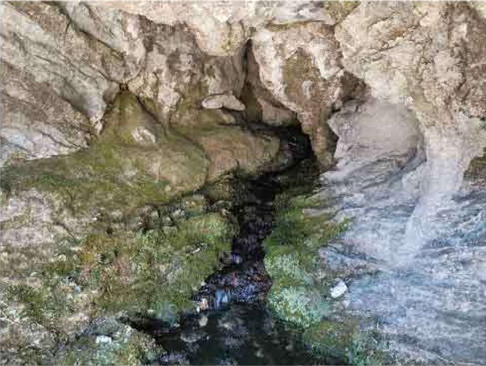
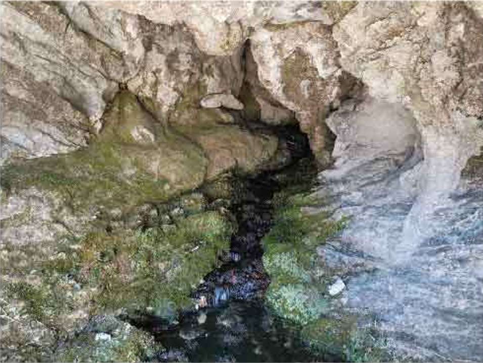
The trail starts from the Piazzale delle Ginestre in Gardola and climbs along trail markers 266 and 253, entering silent beech forests and abandoned pastures where the ruins of old farmsteads are encountered. The Acqua di Cuel spring offers a refreshing stop in the heart of the woods, ideal for topping up water bottles.
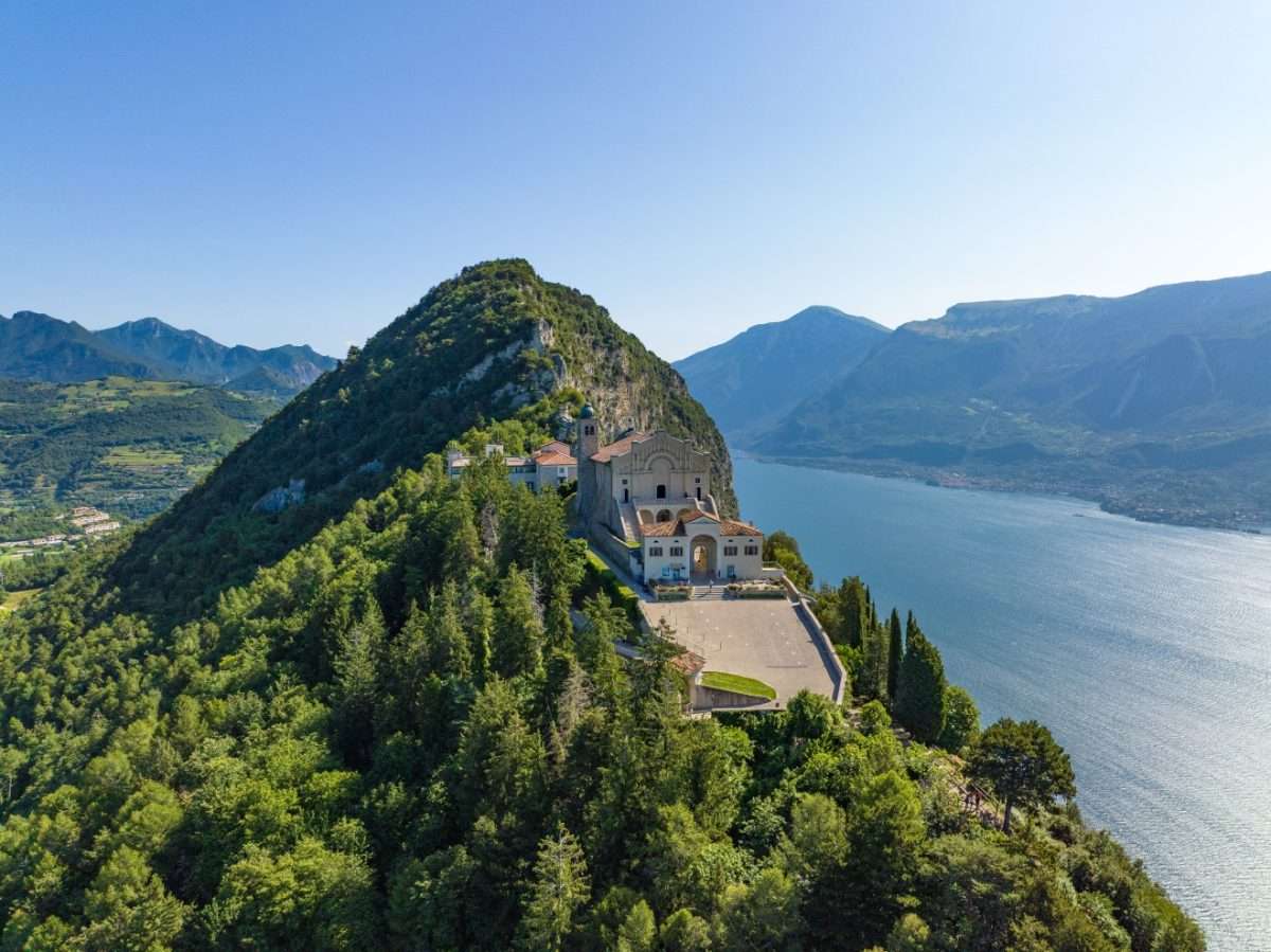
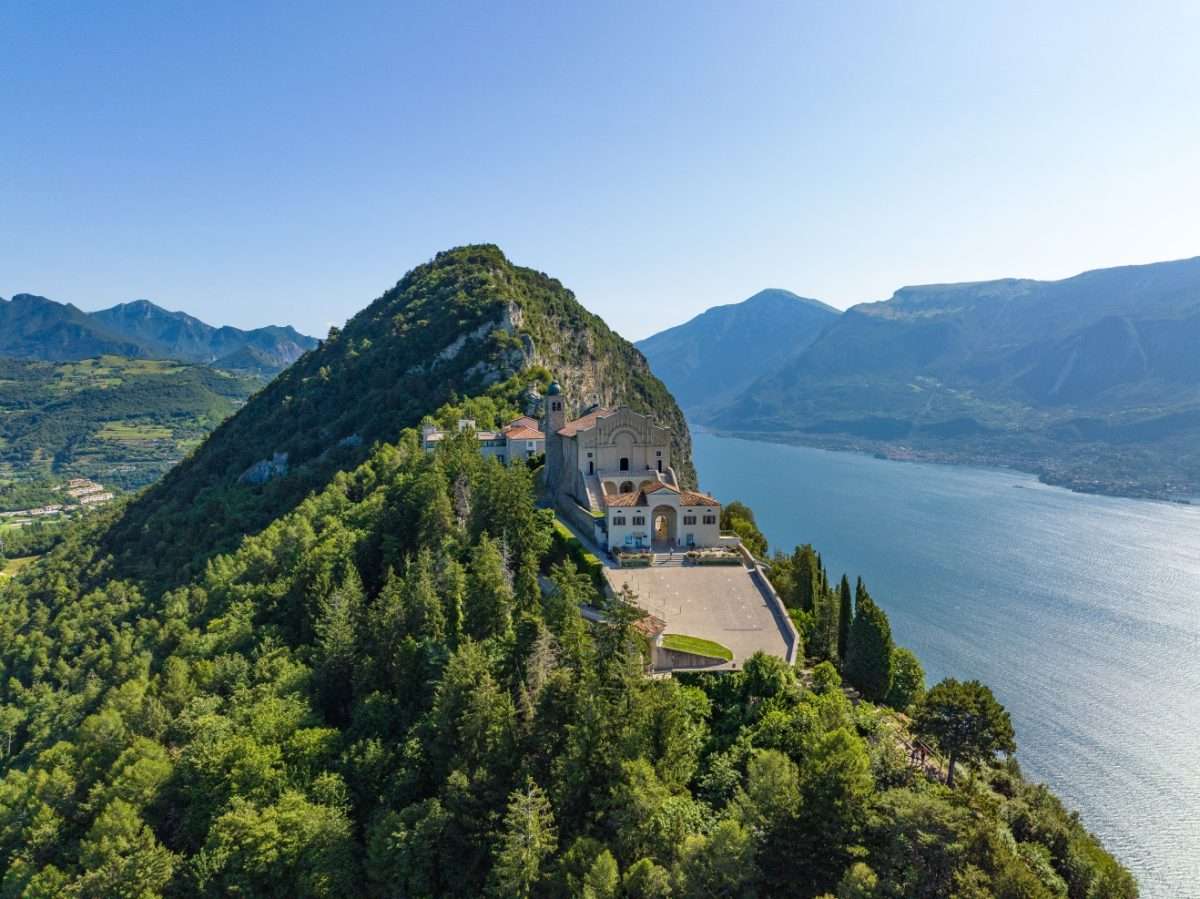
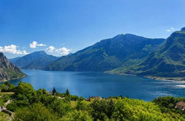
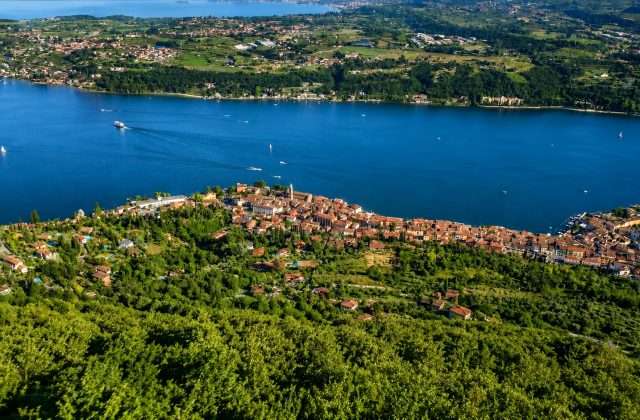
As you gain elevation, the views of Lake Garda become wider and more spectacular, with the blue of the lake contrasting with the green of the wooded slopes. You pass through the villages of Gaès and Aer, tiny rural settlements that retain the atmosphere of an almost forgotten Lake Garda hinterland.
Before the final descent, the trail touches the church of Olzano, a sober religious building surrounded by greenery that deserves a contemplative stop. The return to Gardola completes the loop with an overview of the area where Zanzanù worked.
The route, while classified as easy because of the gradual nature of the trail, is long and requires good training and appropriate equipment. Not suitable for young children; recommended in spring and autumn for the colors of the forest.
Points of interest
- Broom Square
- Cuel Water Source
- Ruins of old farmsteads
- Beech forests
- Gaès Location
- Aer Location
- Olzano Church
Source: official itinerary sheet on visitparcoaltogarda.it (Ente Parco Alto Garda Bresciano). Technical data, GPX tracks and updated info on official website.
Per le direzioni dettagliate, la traccia GPX scaricabile e le indicazioni passo-passo consulta la scheda ufficiale del percorso:
Starting point coordinates
Gear information is not yet available for this route.
Loading forecast...

Need help planning?
Our AI assistant knows every trail around Lake Garda.
 Ask about this route...


