

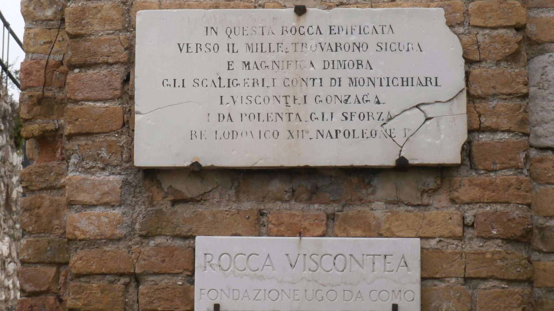
CAI path 803 leads to the Rocca di Lonato del Garda and the Spia d’Italia Tower, a vantage point from which the entire lower lake was controlled. 10.2 km loop through the moraine hills with views of Lake Garda, the mountains and the plain – an easy and cultural hike.
The route
Start from the centre of Lonato del Garda and climb up to the Rocca Viscontea, an imposing medieval fortress that dominates the town and surrounding area. The Rocca houses the Fondazione Ugo Da Como with one of the richest private libraries in Italy and collections of art and ancient weapons.
From the castle the path continues through the morainic hills, among olive groves, vineyards and woods, to the Tower of the Spy of Italy – so called because from its summit one could watch over the entire territory from Lake Garda to the plains. The view from the tower is exceptional and fully justifies the name.
The morainic hills
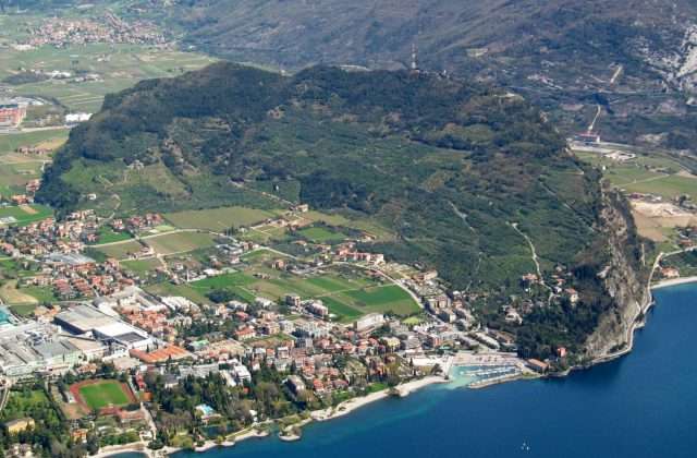
The route crosses a landscape shaped by glaciers: the moraine hills slope gently down to the lake and the plain, creating a mosaic of cultivation and woods. The area is in the heart of the Lugana DOC zone, one of Italy’s most elegant white wines.
Practical advice
Easy and cultural route, suitable for families. CAI marked path. Comfortable shoes. The Rocca di Lonato has visiting hours – check before setting off. Accessible all year round. Can be combined with a Lugana wine tasting in the local wine cellars. Lonato can be reached from Desenzano in 10 minutes.
Characteristics
Directions
From Lonato del Garda you climb to the Rocca di Lonato, an impressive medieval fortress. From the castle you take CAI trail 803 which leads to the Spia d'Italia pass, a historic panoramic viewpoint.
From Spia d'Italia you can enjoy a panorama that embraces Lake Garda, the Brescia plain and the Prealps. The name derives from the Risorgimento tradition: from here you could observe the contested territory. Return by circular route.
How to get there
By car: reach Lonato del Garda from the A4 motorway, Desenzano exit. From Brescia approximately 20 minutes. By public transport: bus from Desenzano.
Where to park
Parking in the center of Lonato or near the Rocca. Free of charge.
Starting point coordinates
Recommended gear
Light trekking shoes. Water, sunscreen. Binoculars for the panorama.
Safety
Easy trail with moderate climb to the Rocca. At the Rocca and Spia d'Italia pay attention to unprotected edges. Trail suitable for families.
Loading forecast...

Need help planning?
Our AI assistant knows every trail around Lake Garda.
 Ask about this route...


