

The Nature Trail
ovestThe Nature Trail is a hiking loop that reveals the most authentic and hidden face of Limone sul Garda, far from the pace of the lakefront and immersed in the vegetation that covers the slopes above the town.
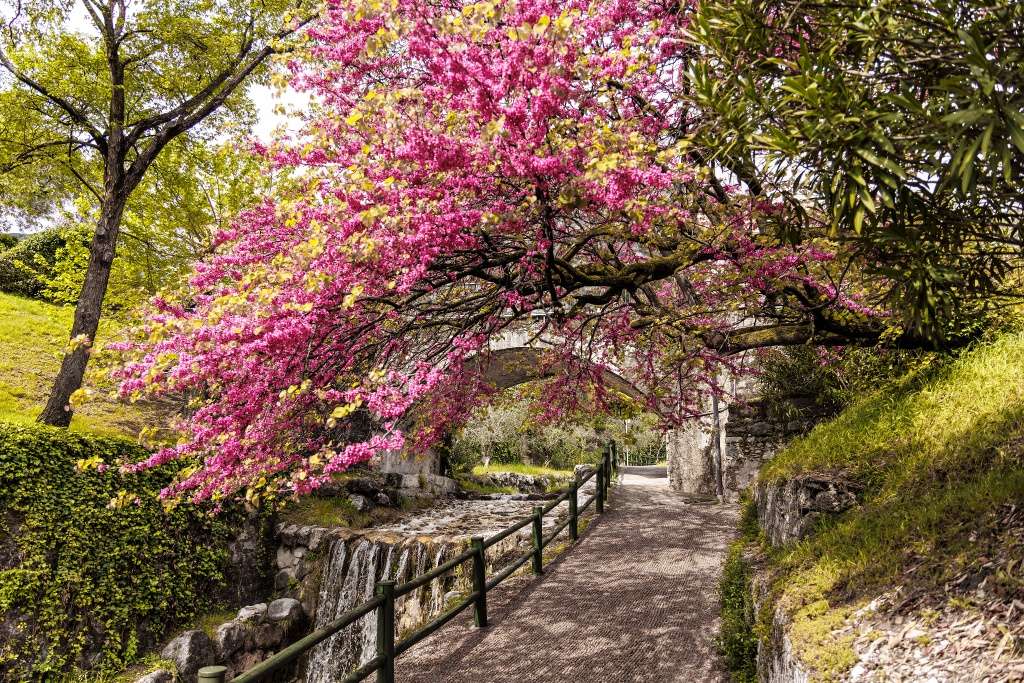
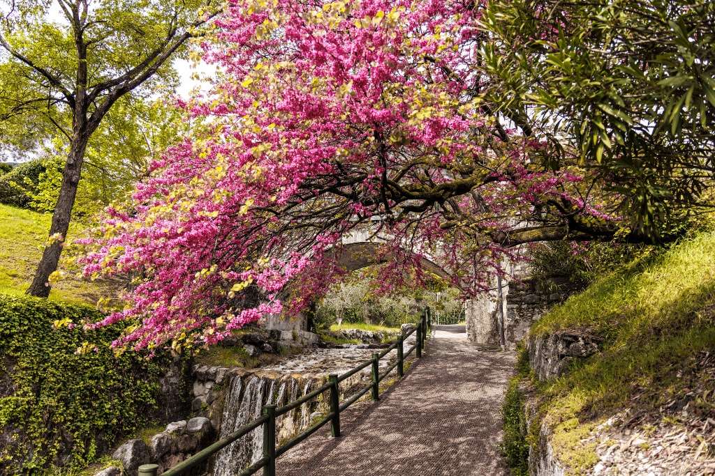
The starting point is on Limone beach, from which you ascend along the San Giovanni stream among small waterfalls and lush vegetation. Shortly afterwards you will come across the capital dedicated to St. John of Nepomuk, a sign that you have entered the heart of the nature trail.
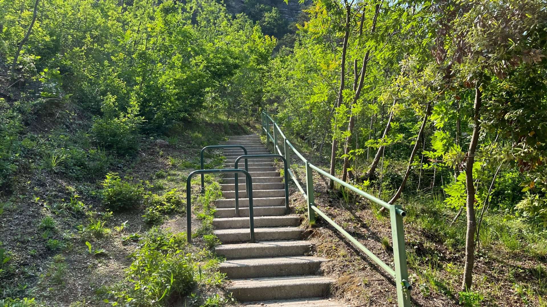
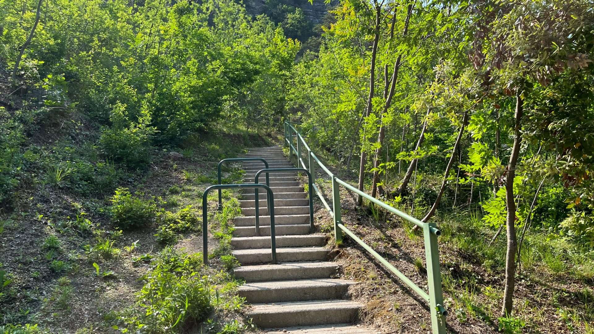
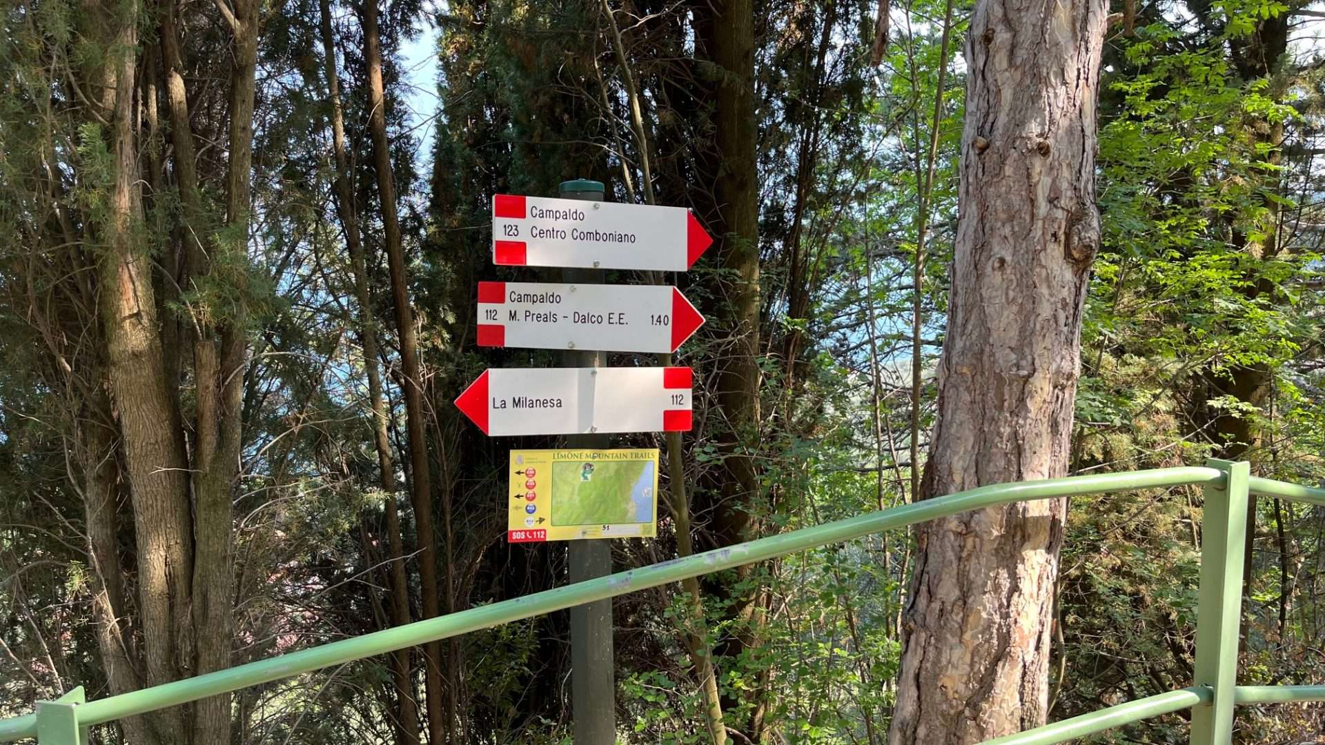
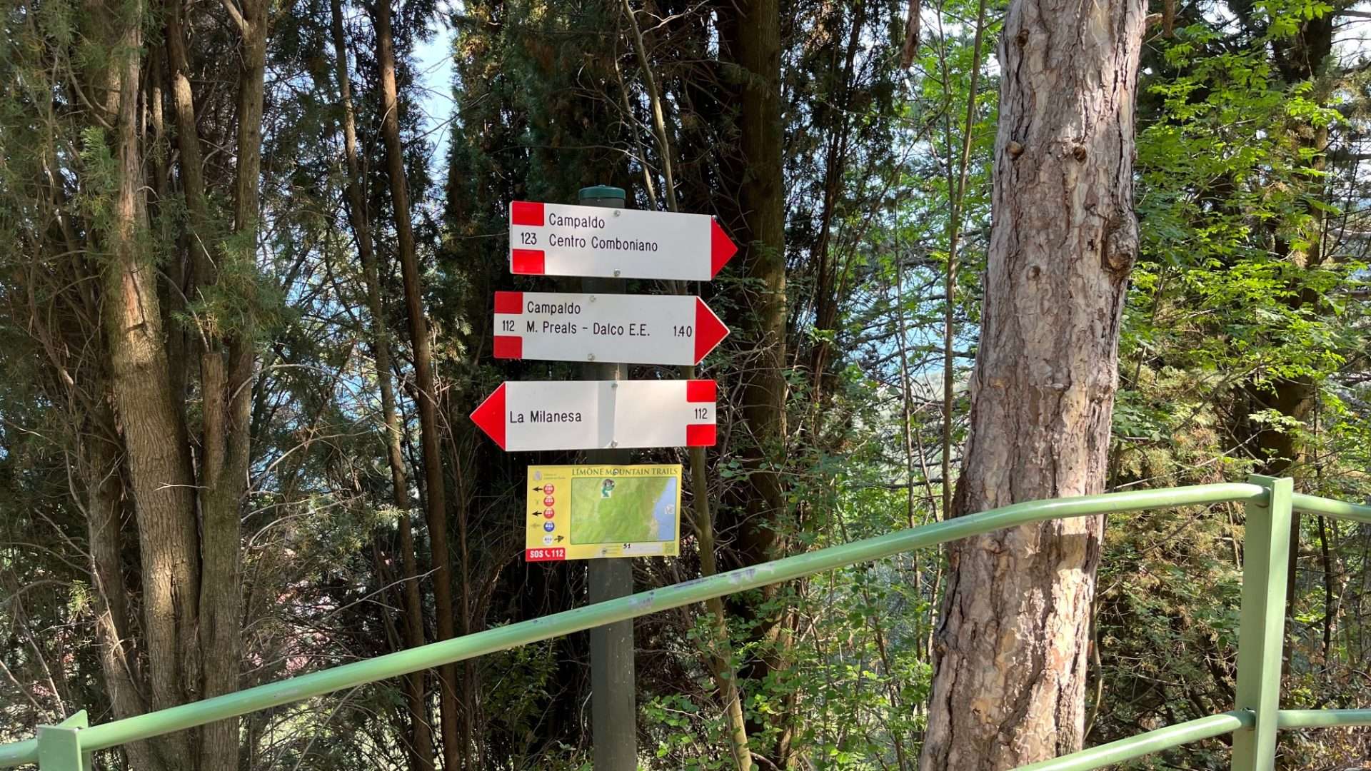
The trail then climbs gently into the woods, accompanied by a railing in the more exposed sections, gradually opening up views of Mount Baldo and the upper lake. It passes through the village of Campaldo before reaching the Comboni Mission Center, where the birthplace of St. Daniele Comboni, a historical figure linked to the mission in Africa, is located.
The trail then touches on the Limonaia del Tesol, one of the best-preserved examples of the old lemon growing greenhouses, and passes through the hamlets of Milanesa and Valle del Singol before descending to the Pura stream and returning to Limone. The trail is family-friendly, dog-friendly, with refreshment stops along the way.
The variety of the landscape-water, forest, historic terraces, and rural architecture-makes this circular route an excellent introduction to the nature and culture of the Garda area.
Points of interest
- Limone Beach
- St. John’s Creek
- Capital of St. John of Nepomuk
- Comboni Mission Center
- Birthplace of Saint Daniel Comboni
- Tesol Lemon House
- Milanesa Location
- Singol Valley
Source: official itinerary sheet on visitparcoaltogarda.it (Ente Parco Alto Garda Bresciano). Technical data, GPX tracks and updated info on official website.
Per le direzioni dettagliate, la traccia GPX scaricabile e le indicazioni passo-passo consulta la scheda ufficiale del percorso:
Starting point coordinates
Gear information is not yet available for this route.
Loading forecast...

Need help planning?
Our AI assistant knows every trail around Lake Garda.
 Ask about this route...


