

The Sanctuary of Montecastello
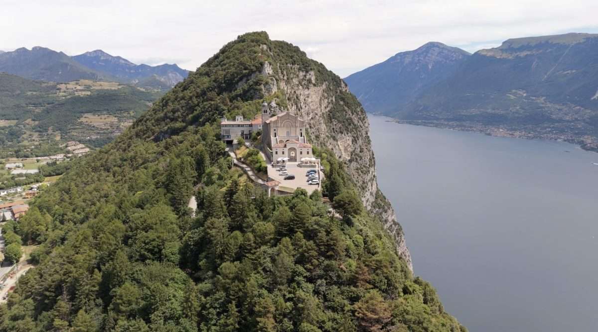
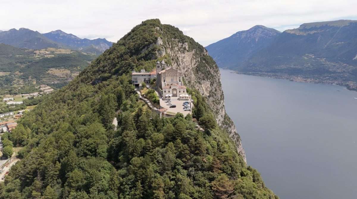
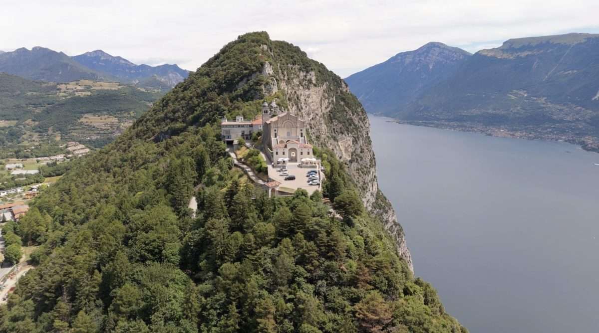
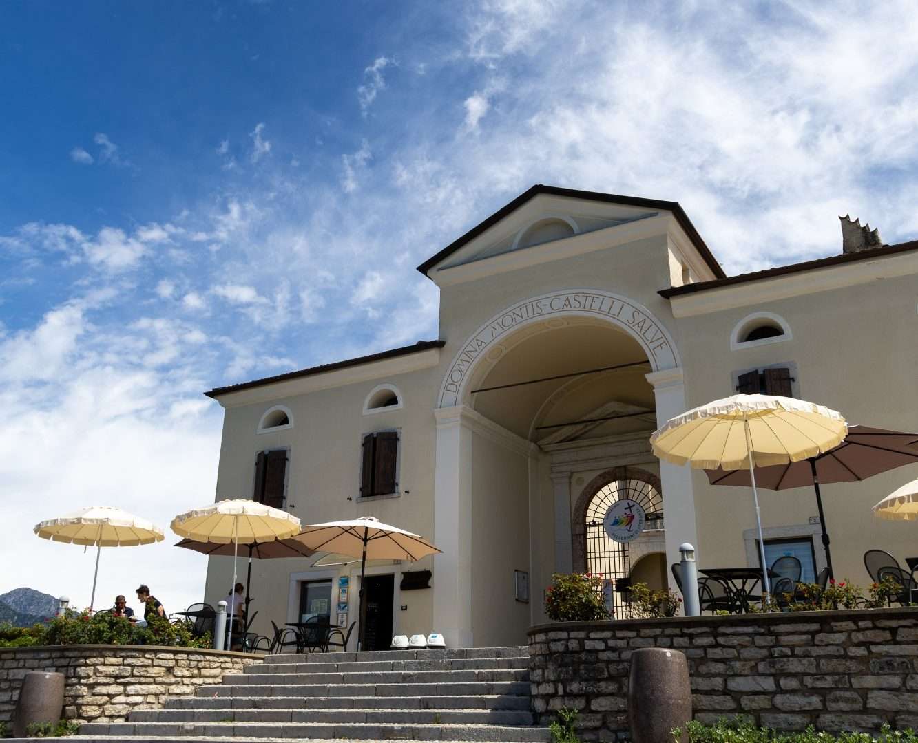
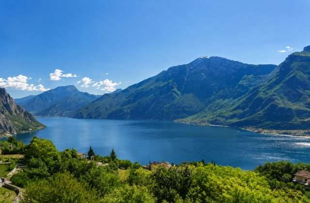
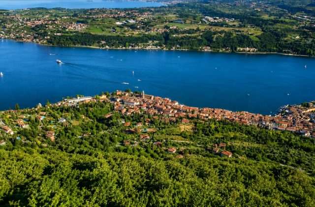
ovestThe Sanctuary of Montecastello is one of the most evocative places in the entire Garda area of Brescia: a small 14th-century church clinging to a limestone outcrop seven hundred meters above sea level, from which it dominates the lake in all its extension northward and toward the Veronese shore. Reaching it on foot is an experience that combines spirituality, history and landscape.
The route starts from a picnic area along the Gardola-Prabione road and follows the Bassa Via del Garda (BVG) through woods and clearings. The climb is gradual and never overly challenging, with a few stretches on well-marked trails leading directly to the shrine’s churchyard. Inside, 14th-century frescoes and a famous ex-voto attributed to Andrea Bertanza guard centuries of popular devotion.
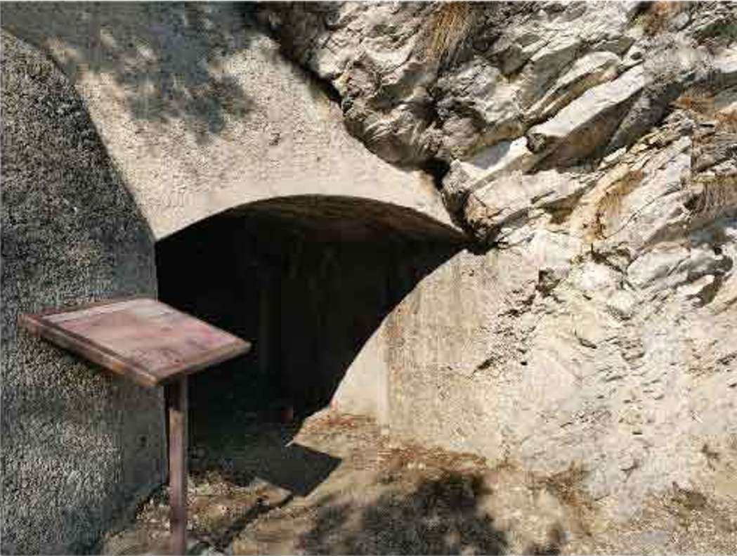
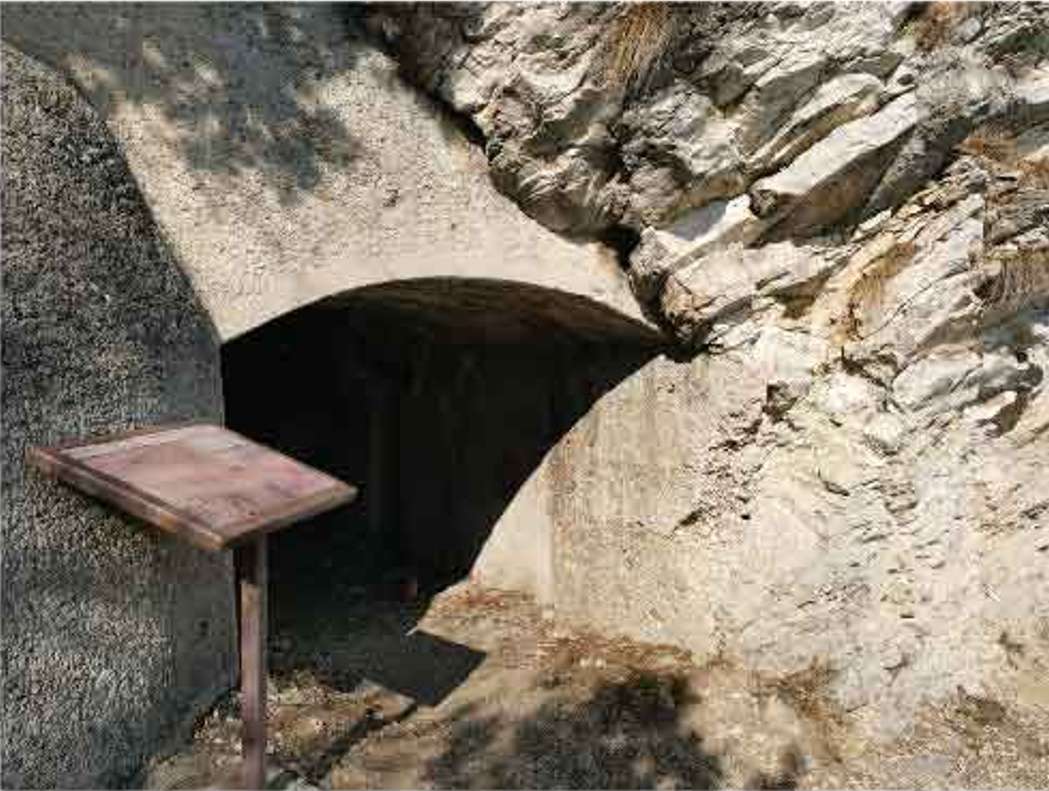
Continuing past the sanctuary, one reaches the summit of Mount Cas, where an armored military observatory dating back to World War I reminds us that these heights were garrisoned in strategic function. The view from here embraces Mount Baldo and the peaks of Lessinia.
The return trip is along BVG trail 266, descending toward Prabione through the adventure park and a wetland area of naturalistic interest, to the Alto Garda Bresciano Park Museum-a recommended stop to better understand the flora, fauna and history of the area.
Suitable for families with children ages six and up, the trail is passable from spring to fall. In summer, an early morning start is recommended to enjoy the views in grazing light and cooler temperatures.
Points of interest
- Sanctuary of Montecastello
- Fourteenth-century frescoes
- Ex-vote of Andrea Bertanza
- Mount Cas military observatory
- Bassa Via del Garda
- Park Museum
Source: official itinerary sheet on visitparcoaltogarda.it (Ente Parco Alto Garda Bresciano). Technical data, GPX tracks and updated info on official website.
Per le direzioni dettagliate, la traccia GPX scaricabile e le indicazioni passo-passo consulta la scheda ufficiale del percorso:
Starting point coordinates
Gear information is not yet available for this route.
Loading forecast...

Need help planning?
Our AI assistant knows every trail around Lake Garda.
 Ask about this route...


