

The Scots pines of Armo
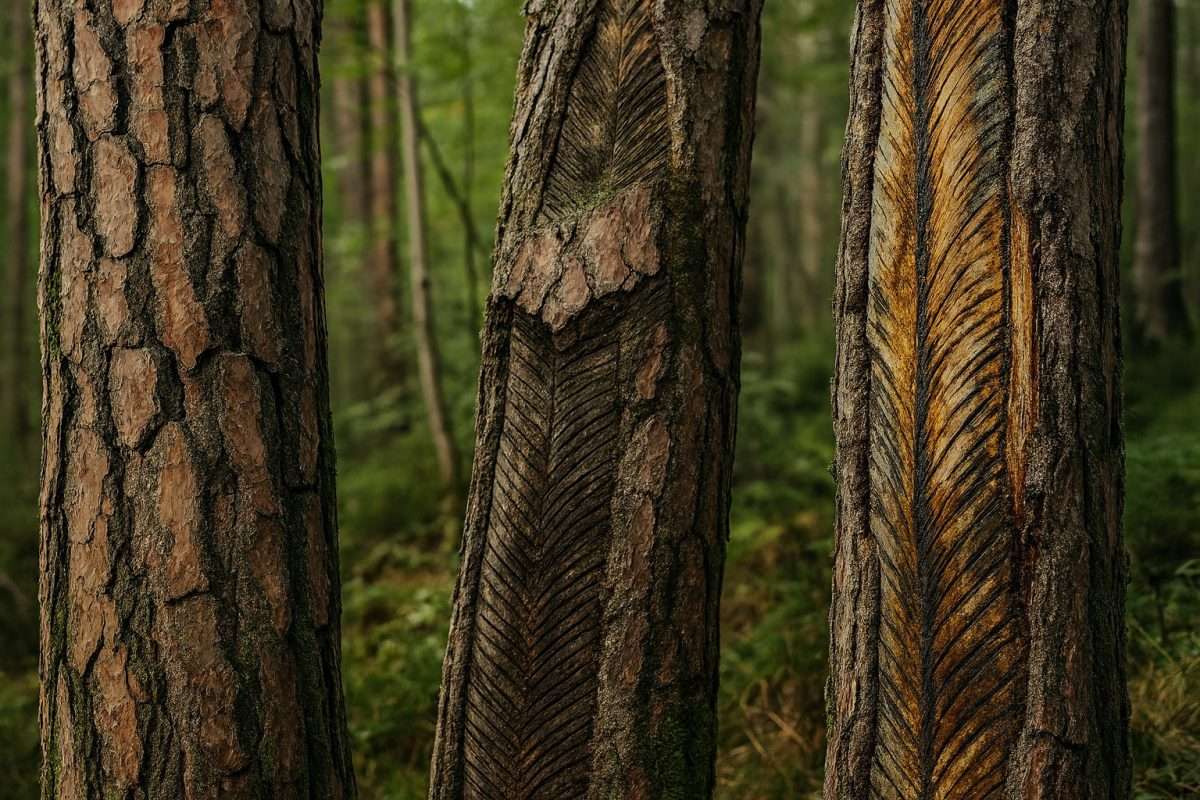
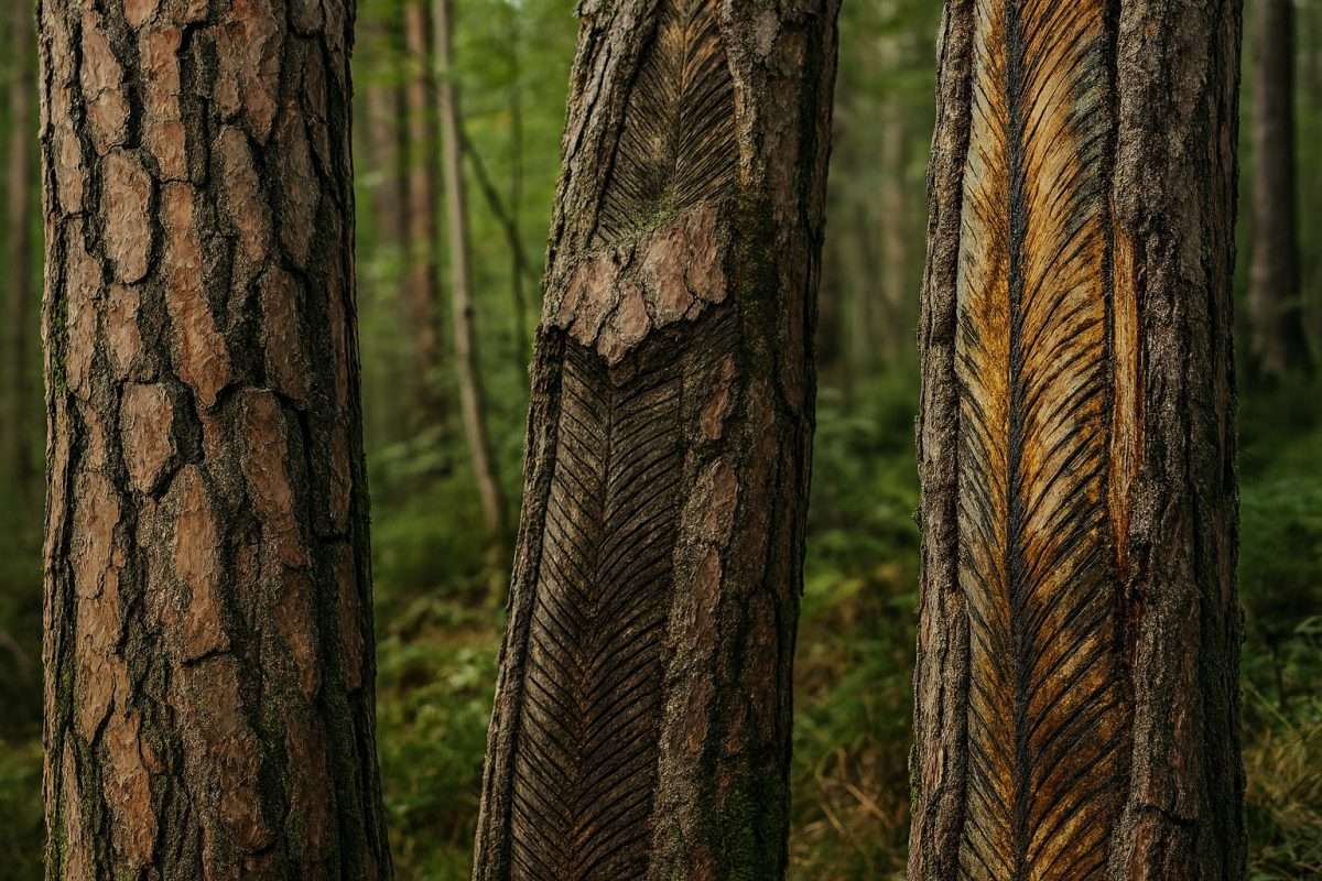
ovestThis circular hike starts from the hamlet of Armo and leads into the Armarolo Valley, where majestic specimens of native lodgepole pine alternate with beech forests in a striking alpine landscape. Still visible on the trunks of many pines are the carvings left by resin harvesters, evidence of a mountain economy that has now disappeared.
The trail follows the valley floor crossing the stream on rustic stone and wooden bridges, then ascends to the Ponte Franato, a solid stone structure dating from World War I, and continues to the Prati di Messane. This high-altitude pastoral plateau offers panoramic views of the Valvestino peaks and rural dwellings scattered across the landscape.
The trail traverses diverse types of terrain – asphalt, dirt, nature trail – making the hike accessible to families with dogs and children, although it requires good equipment with hiking shoes. The descent is through dense beech forests leading back to the village of Armo.
A route that combines history, nature and alpine culture in about three and a half hours of walking, with authentic views far from the most popular tourist circuits of Garda.
Points of interest
- Pine forest
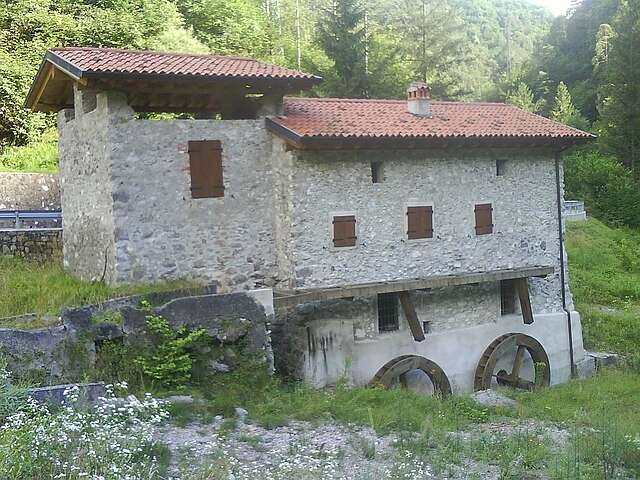
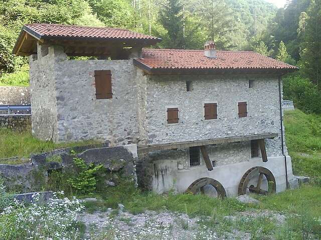
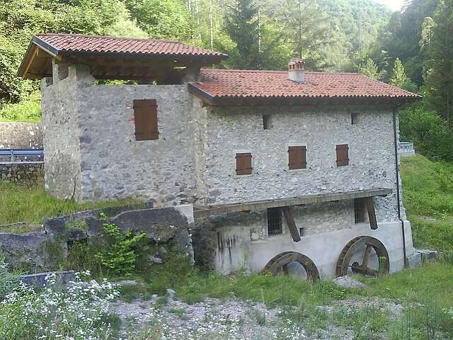
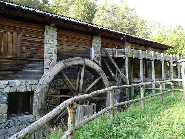
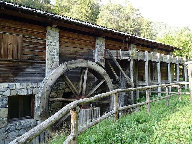
- Old mill and waterfall
- Landslide Bridge (Great War)
- Meadows of Messane
- Traditional rural architecture
- Beech forest
Source: official itinerary sheet on visitparcoaltogarda.it (Ente Parco Alto Garda Bresciano). Technical data, GPX tracks and updated info on official website.
Per le direzioni dettagliate, la traccia GPX scaricabile e le indicazioni passo-passo consulta la scheda ufficiale del percorso:
Starting point coordinates
Gear information is not yet available for this route.
Loading forecast...

Need help planning?
Our AI assistant knows every trail around Lake Garda.
 Ask about this route...


