

The trades of yesteryear
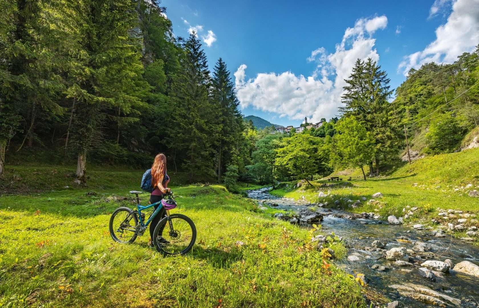
ovestThis accessible loop starts in Turano, capital of the municipality of Valvestino, and immerses visitors in the industrial and rural memory of an alpine valley that has ingeniously exploited natural resources for centuries. The trail touches places central to the daily lives of generations of Valvestino residents.
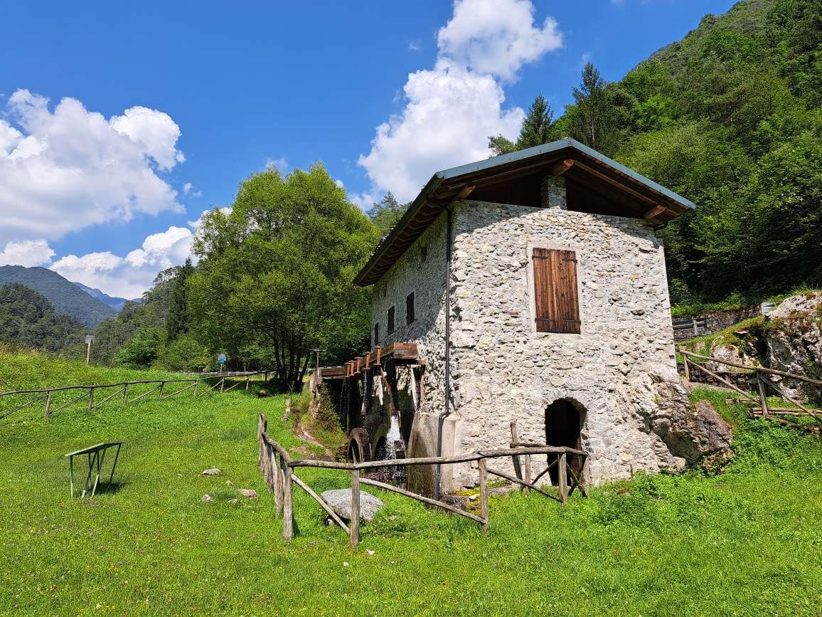
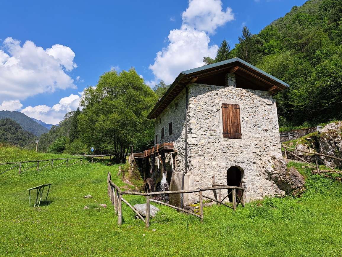
Structures of major interest include a restored water mill with original wooden mechanisms, used for grinding grain, and a recovered Venetian-type sawmill near the Cola locality. Ancient lime kilns-furnaces for the production of lime for construction-complete the picture of a local economy based on stone and woodworking.
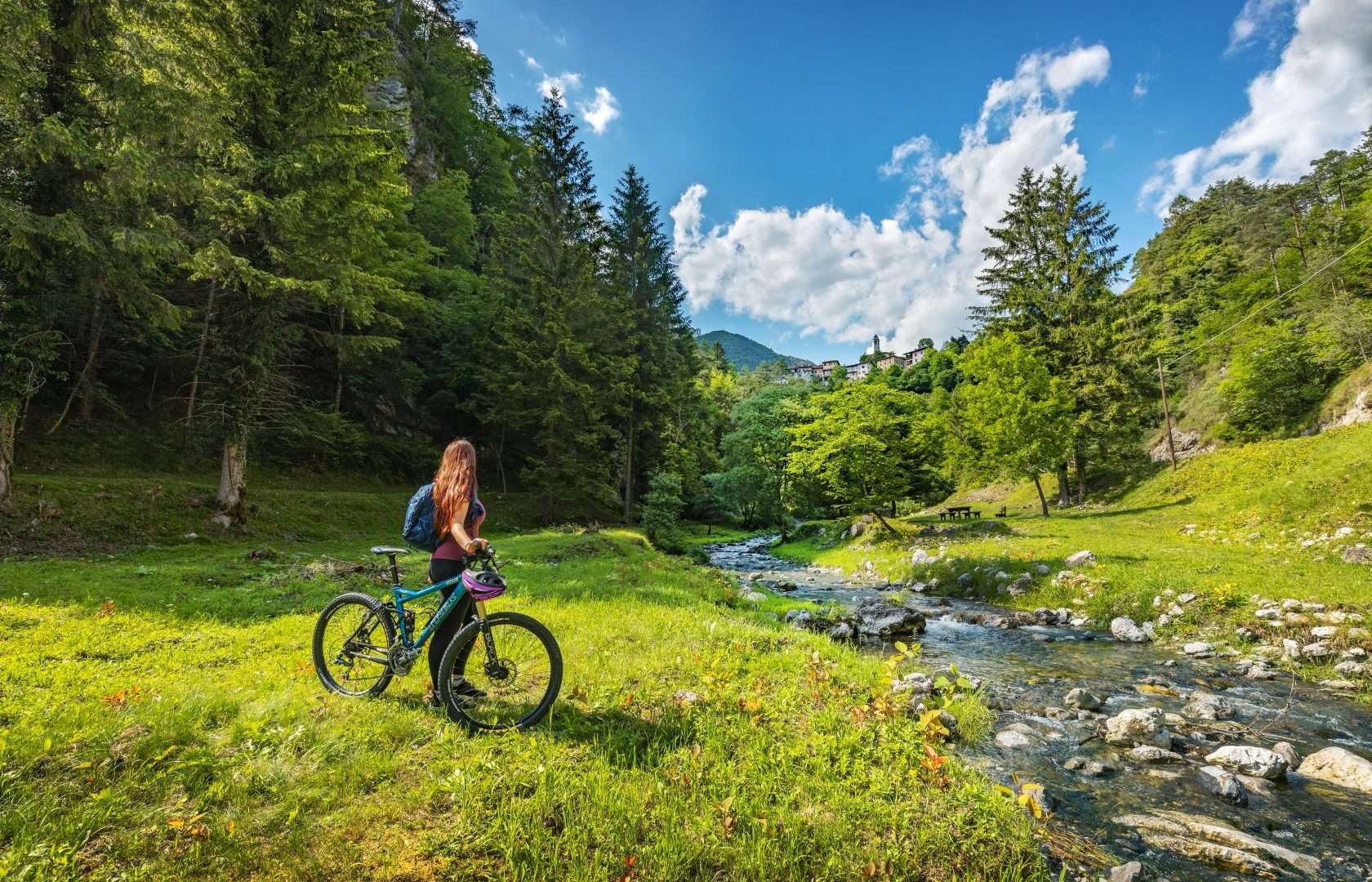
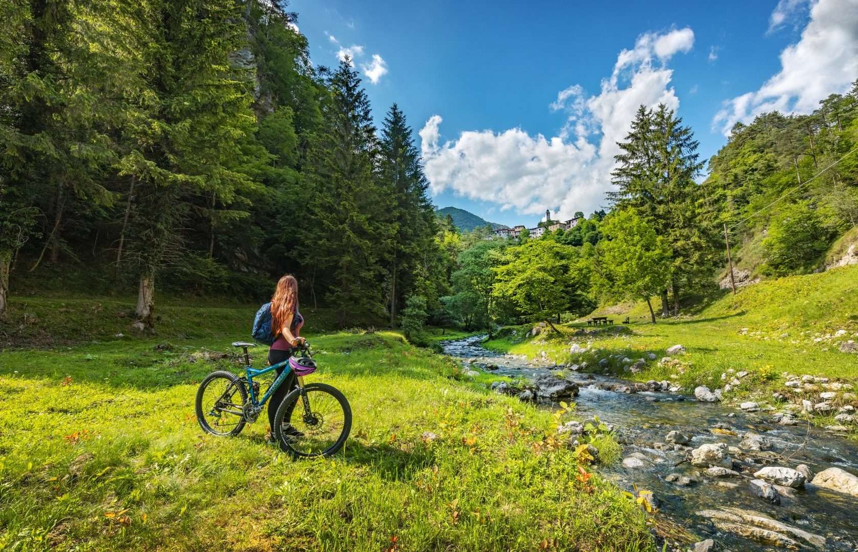
The trail passes through fir forests and crosses stone bridges from the Austro-Hungarian era, offering views of the Turano Valley. Halfway along the trail is the thousand-year-old Church of St. John the Baptist, linked to the spiritual tradition of the Pardon of Turano. A wetland created by the confluence of the Personcino stream with gravelly deposits adds naturalistic interest to the walk.
Equipped picnic areas, explanatory panels at the main sites and a trail with no technical difficulties make this route ideal for families with children and local history enthusiasts.
Points of interest
- Historic water mill
- Venetian sawmill (Cola)
- Ancient calchera
- Austro-Hungarian stone bridge
- Church of St. John the Baptist
- Wetland at the Target
- Picnic areas
Source: official itinerary sheet on visitparcoaltogarda.it (Ente Parco Alto Garda Bresciano). Technical data, GPX tracks and updated info on official website.
Per le direzioni dettagliate, la traccia GPX scaricabile e le indicazioni passo-passo consulta la scheda ufficiale del percorso:
Starting point coordinates
Gear information is not yet available for this route.
Loading forecast...

Need help planning?
Our AI assistant knows every trail around Lake Garda.
 Ask about this route...


