

The path of the vegetable gardens
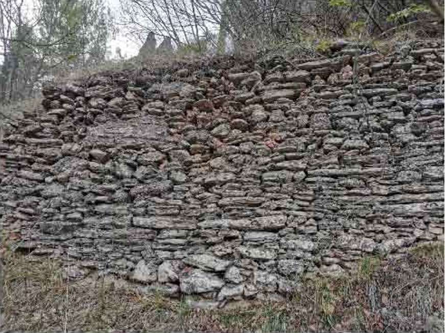
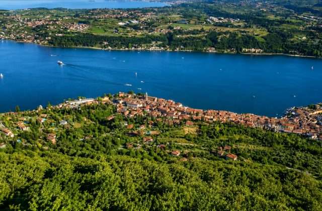
ovestTucked inland from Toscolano-Maderno, the Sentiero degli Orticelli is a short but surprisingly rich loop, capable of revealing in less than an hour a landscape that many visitors to Garda do not imagine: that of terraced countryside, ancient olive groves and stone villages that dot the hills above the Gardesana Occidentale.
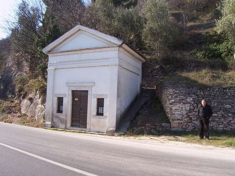
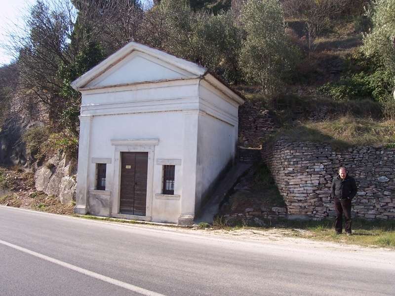
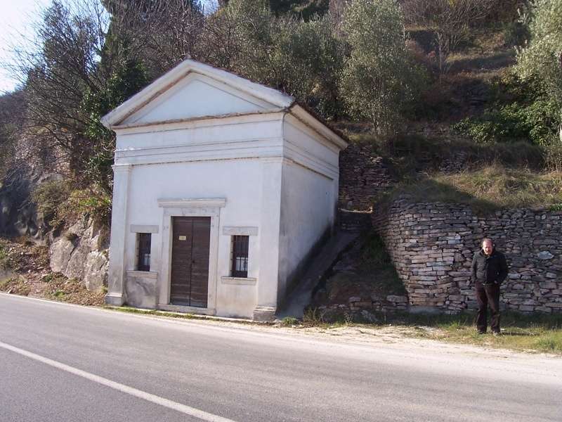
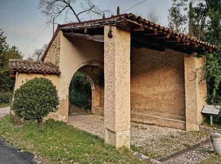
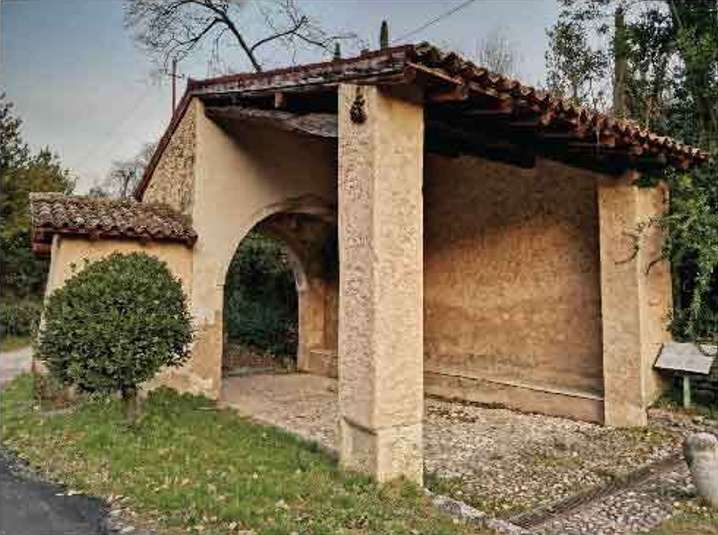
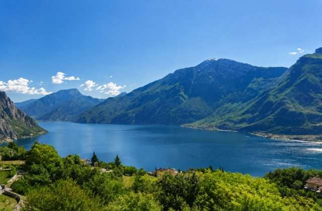
The start is from the Chapel of the Wayfarers, along the state road, from which the trail drops off sharply upward with a fairly steep first section. The climb soon softens, however, and the views of the lake and hills dotted with cypress and olive trees quickly reward the initial effort. The air smells of wild herbs and resin, in a silence that surprises just a few miles from the traffic on the highway.
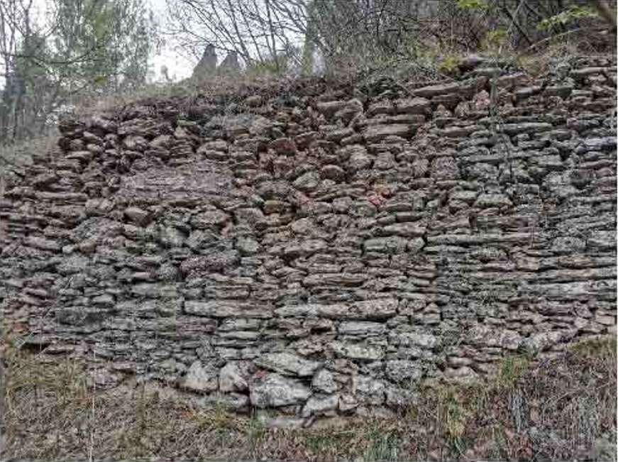
The route passes through the village of Cecina, a small rural nucleus where time seems to stand still. Here are the Church of St. Anthony, with its simple and collected façade, and Palazzo Zuanelli, evidence of a local aristocratic presence long gone but still legible in stone. The lemon houses one encounters a little further on – traditional structures with masonry pillars and wooden roofs – are a reminder of how this area was, until the 19th century, one of the main producers of lemons on the lake.
The itinerary closes with the Chapel of Our Lady of Sorrows, a privileged vantage point before returning to the Chapel of the Wayfarers. Those who wish to extend the hike can detour to the Shrine of Supina, which can be reached with a short detour.
Practical info: loop trail, light hiking shoes recommended. No refreshment stations along the route.
Points of interest
- Chapel of the Wayfarers
- Village of Cecina
- Church of St. Anthony
- Zuanelli Palace
- Historic lemon houses
- Chapel of Our Lady of Sorrows
- Shrine of Supina (detour)
Source: official itinerary sheet on visitparcoaltogarda.it (Ente Parco Alto Garda Bresciano). Technical data, GPX tracks and updated info on official website.
Per le direzioni dettagliate, la traccia GPX scaricabile e le indicazioni passo-passo consulta la scheda ufficiale del percorso:
Starting point coordinates
Gear information is not yet available for this route.
Loading forecast...

Need help planning?
Our AI assistant knows every trail around Lake Garda.
 Ask about this route...


