Walking on Lake Garda: between lake and mountain
Lake Garda isn’t just about beaches and villages. It’s a vertical landscape where, in just a few kilometers, you go from the lake level of 65 meters to the 2,218 meters of Monte Baldo. This altimetric variety creates an extraordinary network of scenic trails, with routes passing through olive groves, lemon houses, beech forests, and alpine meadows. Here are the 15 must-see trails, divided by area and difficulty.
Western shore: between lemon houses and cliffs
1. Ponale Path
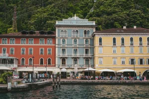
The Ponale Path is probably the most famous route on Lake Garda. It starts in Riva del Garda and follows the old military road carved into the rock overlooking the lake. The first 3 km are easy and suitable for everyone, with constant views of the blue water below. Continuing on, you climb up to Lake Ledro (8 km total, 3 hours round trip). The first part is also accessible by bike.
- Difficulty: easy (first part), medium (entire route)
- Duration: 1h for the first part, 3h round trip to Ledro
- Elevation gain: 400 m to Ledro
2. Lemon Path
The Lemon Path (Sentiero dei Limoni) connects Limone sul Garda to Gargnano along an ancient track used to transport citrus fruits. The route passes through historic lemon houses, olive groves, and scenic mid-slope sections. It’s not a trail for everyone: some passages are exposed and require a steady foot. However, the light filtering through the olive trees and the lake below make the effort worthwhile.
- Difficulty: medium-high
- Duration: 4-5 hours for the full stretch
- Elevation gain: approximately 500 m cumulative
3. Cima Comer from Gargnano
The trail to Cima Comer starts from the village of Gargnano and climbs through woods to a scenic ridge at 1,280 m. The summit offers a complete view of the lake, from Sirmione to Riva. It is a true mountain route, with steep sections and CAI signage. Bring enough water: there are no fountains after the village.
- Difficulty: high
- Duration: 5-6 hours round trip
- Elevation gain: 1,200 m
4. Ventrar Path
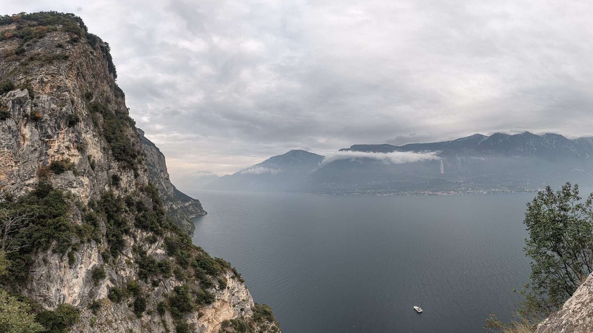
The Ventrar Path runs along the mountainside above Tremosine, with points where the path is less than a meter wide and the lake is 400 meters below. It is arguably the most scenic trail on western Garda. It requires a lack of vertigo and a steady foot, but technically it isn’t difficult. The start from Pieve di Tremosine is easily reachable by car.
- Difficulty: medium (requires no fear of heights)
- Duration: 3 hours round trip
- Elevation gain: 300 m
Eastern shore: from the lake to the Baldo ridge
5. Busatte-Tempesta
The Busatte-Tempesta trail is a spectacular route between Torbole and Tempesta: 400 metal steps clinging to the vertical cliff with the lake 200 meters below. Despite its appearance, it is a well-equipped trail and also suitable for families with children who aren’t too small. The descent is continuous, so the return is uphill — or you can take the bus back.
- Difficulty: easy-medium
- Duration: 2 hours one way
- Elevation gain: 300 m descent
6. Monte Baldo — Ridge
The crossing on the Monte Baldo ridge is the most beautiful high-altitude hike on Lake Garda. You take the cable car from Malcesine up to 1,760 m and walk along the ridge with the lake on one side and the Adige Valley on the other. In spring, the meadows are a carpet of flowers — Baldo is known as the “Garden of Europe” for its botanical biodiversity. The trail is exposed in some sections.
- Difficulty: medium
- Duration: 4-5 hours (various options)
- Elevation gain: variable, from 200 to 600 m depending on the route
7. Cima Valdritta from Novezzina
The climb to Cima Valdritta (2,218 m) is the highest point of Monte Baldo and the entire Garda area. It starts from the Novezzina Refuge (1,232 m, reachable by car from Ferrara di Monte Baldo) and climbs along a CAI trail through alpine pastures. At the summit, a 360-degree view: Garda, the Dolomites, Adamello, and the Po Valley. Bring a windbreaker even in summer.
- Difficulty: medium-high
- Duration: 4 hours round trip
- Elevation gain: 1,000 m
8. Punta San Vigilio
The walk to Punta San Vigilio is for those seeking beauty without the effort. From Garda, you walk along the coastal road heading north for about 2 km until you reach the promontory with Villa Guarienti, centuries-old cypresses, and the Baia delle Sirene (entry 8 euros). The sunset from here is one of the most beautiful on the lake.
- Difficulty: easy
- Duration: 1 hour round trip
- Elevation gain: negligible
Inland and northern area: true mountain
9. Monte Brione
The Monte Brione is a 376 m hill that separates Riva del Garda from Torbole. The trail surrounding it is easy and short (1.5 hours) but offers extraordinary viewpoints over both basins of the lake. Austro-Hungarian fortifications along the way add historical interest. The flora is Mediterranean despite the alpine latitude: olive trees, holm oaks, and wild capers.
- Difficulty: easy
- Duration: 1.5 hours
- Elevation gain: 300 m
10. Punta Larici from Pregasina
Punta Larici is a natural balcony 900 m above the lake, reachable with a one-hour walk from Pregasina (above Riva). The arrival point is a meadow overlooking the water with a view that many consider the most beautiful in all of Garda. Paragliders take off from here — and watching the lake from above as pilots launch into the void is an experience in itself.
- Difficulty: easy-medium
- Duration: 2 hours round trip
- Elevation gain: 250 m
11. Sun Path
The Sun Path (Sentiero del Sole) crosses the western shore at mid-altitude, between olive groves and open views of the lake. It’s a route that connects several villages of the Brescia riviera, walking on a south-facing slope that enjoys light all day long (hence the name). It can be walked in stages, choosing the section you prefer.
- Difficulty: medium
- Duration: variable (stages of 2-4 hours)
- Elevation gain: variable
12. Rocca di Manerba
The Rocca di Manerba is a promontory that rises on the south-western shore, with an open view over the entire lower lake and Isola del Garda. The climb is short (20 minutes) and the surrounding natural park is pleasant for families. The remains of the medieval fortress are at the top. From April to September, the visitor center organizes guided tours of the reserve’s flora and fauna.
- Difficulty: easy
- Duration: 1 hour round trip
- Elevation gain: 100 m
13. Monte Tremalzo
The Monte Tremalzo and Corno della Marogna are a true mountain route, starting from Val di Ledro. The climb passes through beech forests and reaches high-altitude meadows with views of the lake and the Brenta Dolomites. It is also a historical itinerary of the Great War, with trenches and walkways still visible. Well-marked CAI trail.
- Difficulty: high
- Duration: 5-6 hours round trip
- Elevation gain: 900 m
14. Hermitage of San Giorgio
The Hermitage of San Giorgio can be reached with a short walk from Gargnano. The hermitage, clinging to a rock face above the lake, is a place of absolute silence. The rock church dates back to the 12th century. The trail is easy but requires a bit of attention in the final stretch. The view from the hermitage terrace over the Gulf of Gargnano is worth the entire hike.
- Difficulty: easy-medium
- Duration: 1.5 hours round trip
- Elevation gain: 200 m
15. Naole Ridge
The Naole Ridge is a scenic route in the hinterland of Brenzone, with continuous views of the lake and Monte Baldo. The trail runs along a ridge at about 1,000 m altitude, between meadows and rock. It is less frequented than other routes in the area, which adds to its charm. It can be connected to Forte Naole to extend the itinerary with a visit to the Austro-Hungarian fort.
- Difficulty: medium
- Duration: 3-4 hours round trip
- Elevation gain: 500 m
Practical tips for trekking on Lake Garda
- Best time: from April to November for low-altitude trails; June-October for the peaks of Monte Baldo.
- Water: always bring at least 1.5 liters. Fountains along the trails are rare.
- Footwear: trekking shoes with Vibram soles for all trails, except for the easiest walks (Punta San Vigilio, Rocca di Manerba).
- Weather: in the mountains, the weather changes quickly. Check the forecast before leaving and bring a waterproof layer.
- Mapping: the Tabacco 1:25,000 sheet 063 covers all of Garda. Alternatively, Komoot and AllTrails have reliable GPS tracks.
Discover all our walking itineraries on Lake Garda and choose the route that suits your level. If you prefer cycling, check out our cycle paths.